Topographic Survey | Colne
Introduction
Location: Colne, Lancashire
Client: Confidential
Sector: Commercial Development
Turnaround: 2 days (1 day on site, 1 day processing)
Deliverables: 2D & 3D CAD, PDF, Control Point Report
Project Overview
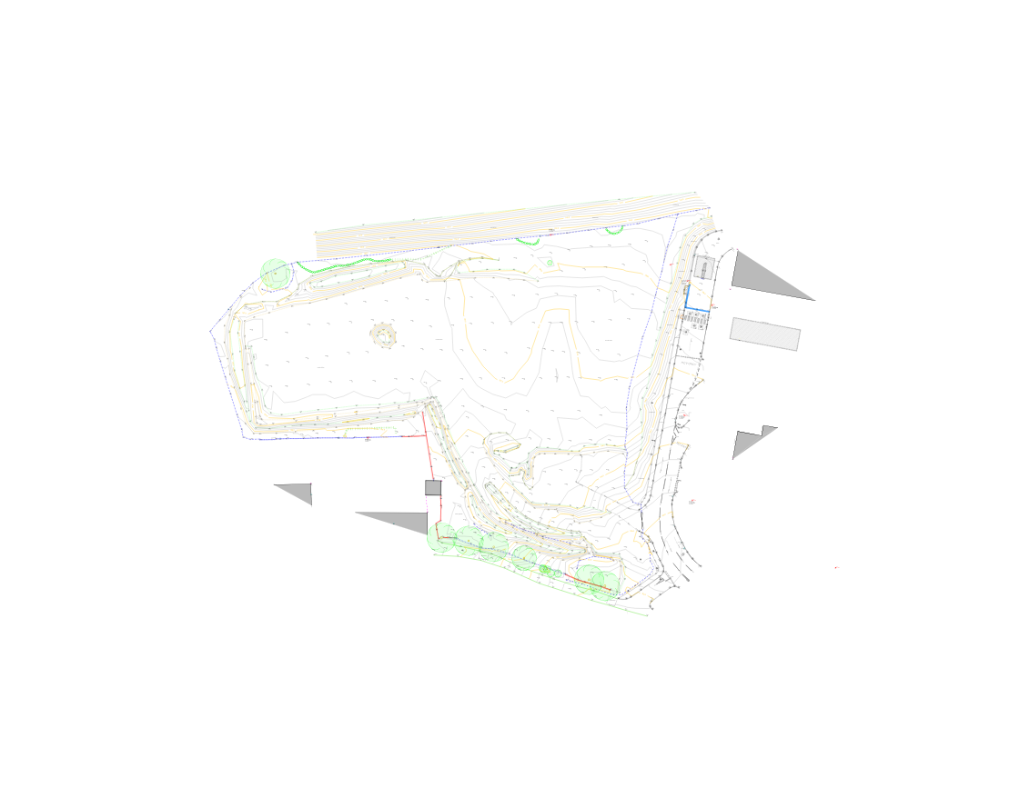
Brookes Geospatial was instructed to carry out a topographic survey in Colne to support the early design stages of a proposed commercial development. The brief, issued at short notice, required a clear and accurate representation of site levels, surrounding boundaries, and the newly constructed access road recently installed by the developer.
Our survey outputs were aimed at helping architects and designers visualise the existing topography, surrounding buildings, and critical interfaces for design and planning purposes.
Scope of Work
The topographical survey included:
Detailed capture of site levels, boundaries, and adjacent buildings
Mapping of the newly laid access road and its integration into the existing terrain
Establishment of a robust control network using a combination of GNSS and total station methods
Provision of retro targets tied to the adjusted control network for future construction use
Our Approach
High accuracy in all measurements and site mapping.
Efficiency in data collection, enabling a quick turnaround for the client.
Detailed outputs tailored to meet planning requirements.
Methodology & Equipment
Despite a tight timeline, we completed the project with efficiency and precision:
Leica GNSS, Leica TS16 Total Station, and Traverse Kit were deployed to ensure high positional accuracy
Control network was adjusted using the Bowditch method via LSS software, ensuring consistent internal geometry and minimal closure error
Outputs were processed and drafted using AutoCAD and LSS, delivering both 2D and 3D CAD drawings, alongside clear PDF documentation
We also supplied the client with geo-referenced photos of control points and installed retro targets to assist with a seamless transition into the next phase of construction.
Outcome
This survey was completed with just one day on site and one day of processing, showcasing Brookes Geospatial’s ability to deliver rapid, high-quality results under pressure. The client received a complete topographic dataset that could be confidently used for design development and future setting-out works.