

About Brookes Geospatial
Built on precision.
Driven by relationships.
Dependable surveying for construction, engineering and property projects across the North of England.
Who we are
Surveying services clients can trust.
Brookes Geospatial was founded with one clear objective: to provide accurate survey information alongside a level of service clients can rely on.
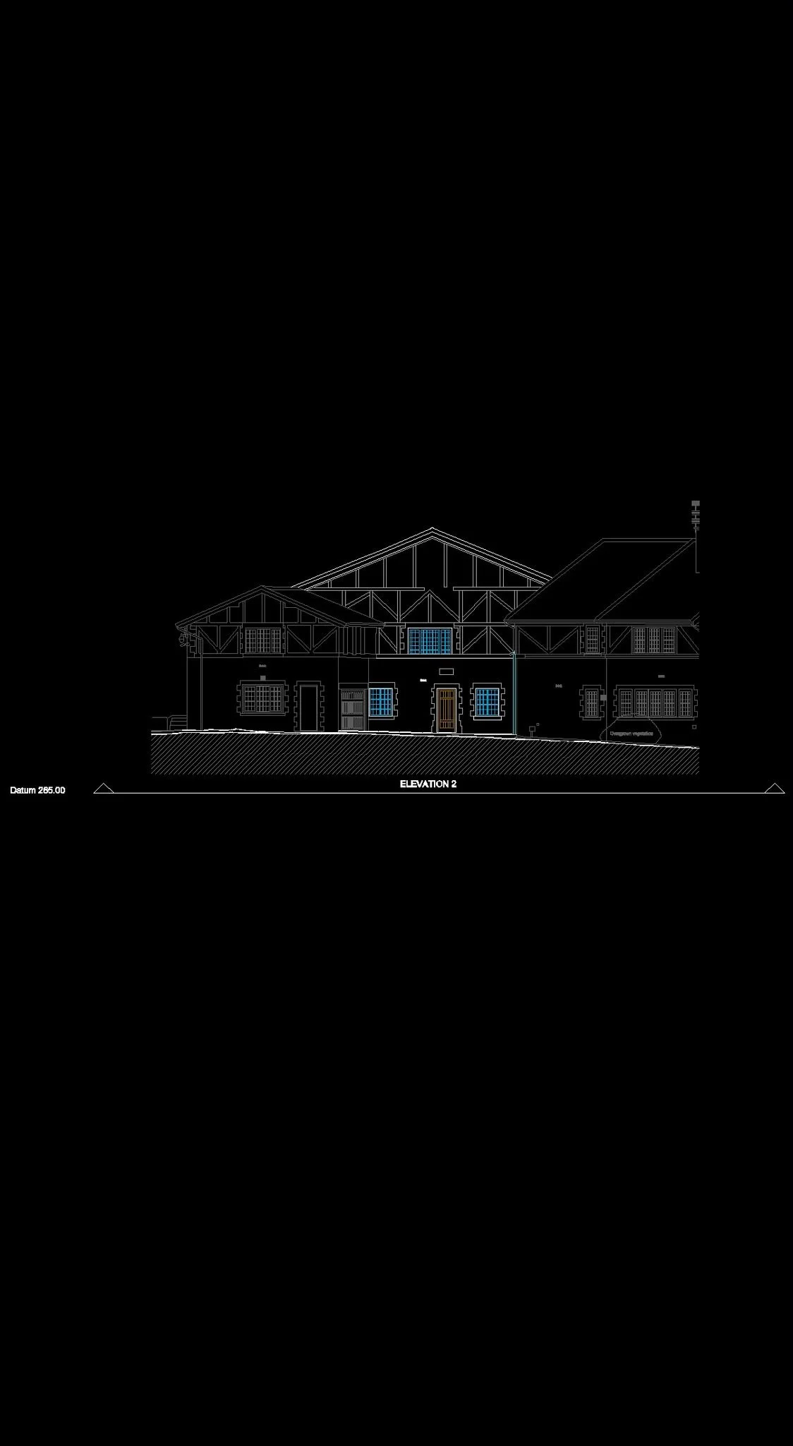
From topographic surveys and setting out to structural monitoring, measured building surveys and 3D laser scanning, our work supports projects from early planning and design through to construction and completion.
We understand that technical accuracy is only one part of the job. Clear communication, dependable delivery and a practical approach on site are equally important.
Our story
A modern surveying company with a straightforward approach.
Brookes Geospatial was created to deliver the kind of surveying service we believe every project team deserves: accurate, responsive and easy to work with.
We have grown through repeat business, recommendations and long-term client relationships. That growth is built on doing what we say we will do, taking responsibility for our work and remaining focused on the needs of the project.
View selected projects ↗What matters to us
The standards behind every survey.
Precision
Every survey forms the basis for decisions that follow. Accuracy is treated as a responsibility, not simply a specification.
Reliability
Construction programmes move quickly. We communicate clearly, meet agreed deadlines and deliver information when project teams need it.
Relationships
The strongest projects are built on trust. We aim to become a dependable part of the project team rather than simply another supplier.
Practical thinking
No two sites are identical. We adapt our methods to the project, solve problems early and keep disruption to a minimum.
Our approach
Surveying that fits around your project.
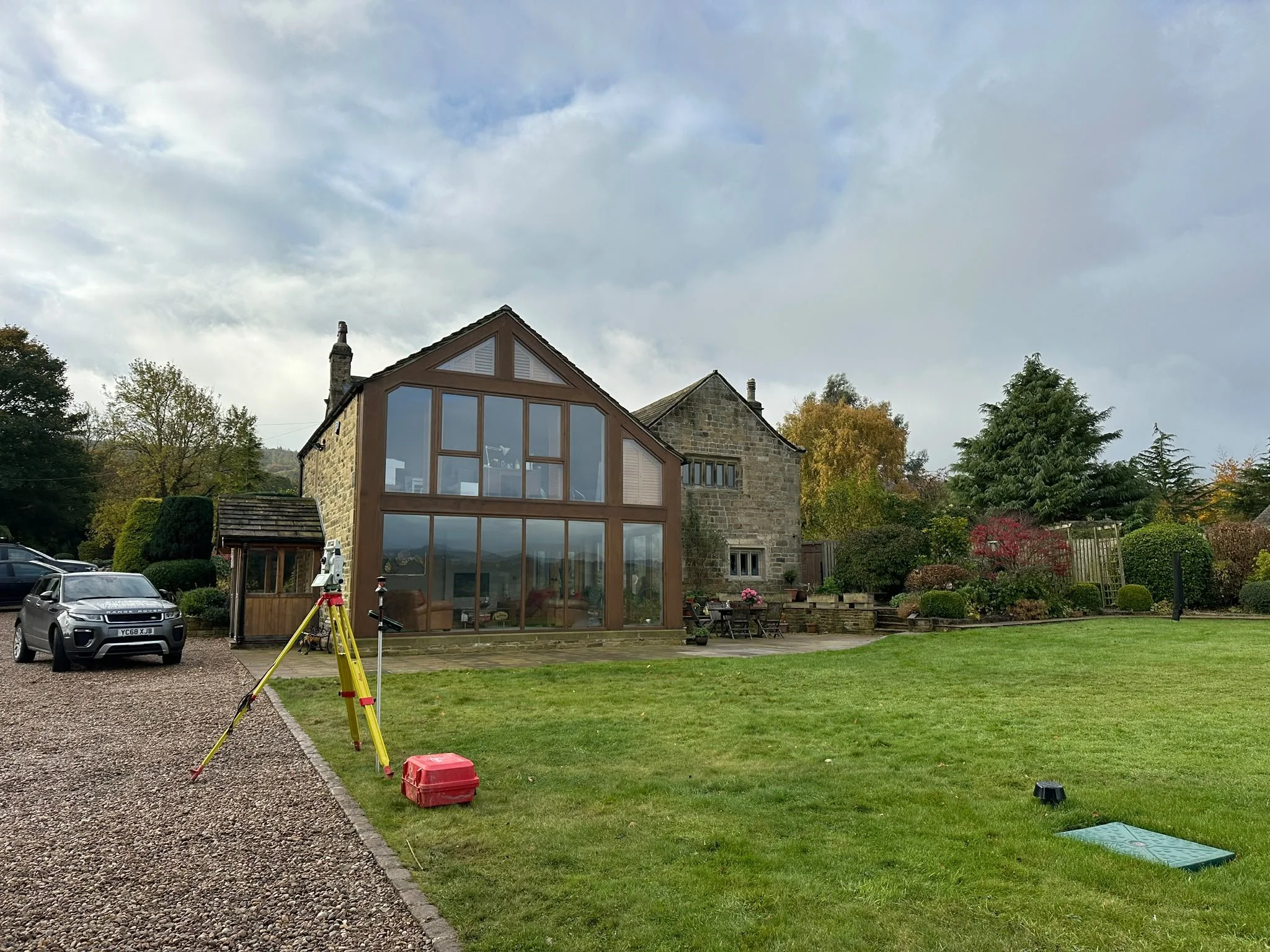
Instead of forcing every project into the same workflow, we choose the right equipment, survey method and deliverables for the site.
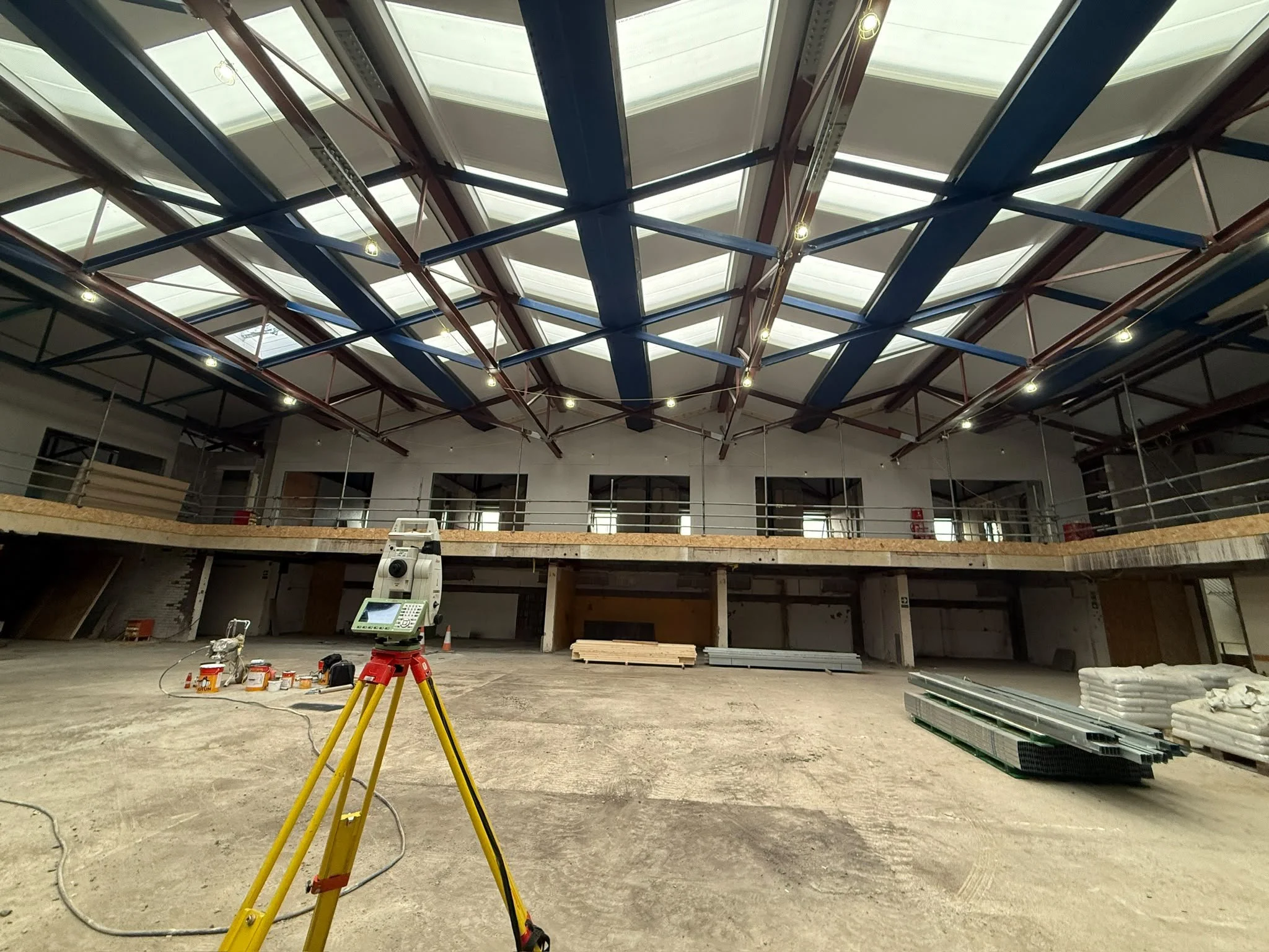
Whether we are establishing control, setting out foundations, monitoring movement or capturing existing conditions, the objective remains the same: accurate information delivered with minimal disruption.
How we work
A clear process from enquiry to delivery.
Good surveying starts before anyone arrives on site. We take the time to understand the project, agree the scope and plan the right approach.
Understand
We review your requirements, programme, drawings and intended deliverables.
Plan
We determine the most effective survey method, site resources and coordinate requirements.
Survey
Fieldwork is completed methodically using equipment suited to the site and required accuracy.
Process
Survey data is checked, coordinated and prepared in the formats your team needs.
Verify
Quality checks are completed before drawings, models, schedules or reports are issued.
Deliver
You receive clear survey information together with continued support where required.
Where we work
Supporting projects across the North of England.
Brookes Geospatial supports contractors, developers, engineers, architects and property professionals throughout Yorkshire, Lancashire, Greater Manchester, Cumbria and the wider North West.
UK-wide coverage is also available where the project requires it.
Explore our services ↗Start a conversation