
Industries
Surveying expertise
across the built environment.
From residential development and commercial construction to infrastructure, energy and public-sector projects, we provide dependable survey information that helps teams design, build and deliver with confidence.
Explore sectorsWhere information creates confidence
Every sector asks different questions of the survey.
The requirement changes with the asset, the programme and the decisions being made.
Our role is to understand how information will be used — by designers, engineers, contractors, developers and asset owners — then deliver it with the clarity and control the project demands.
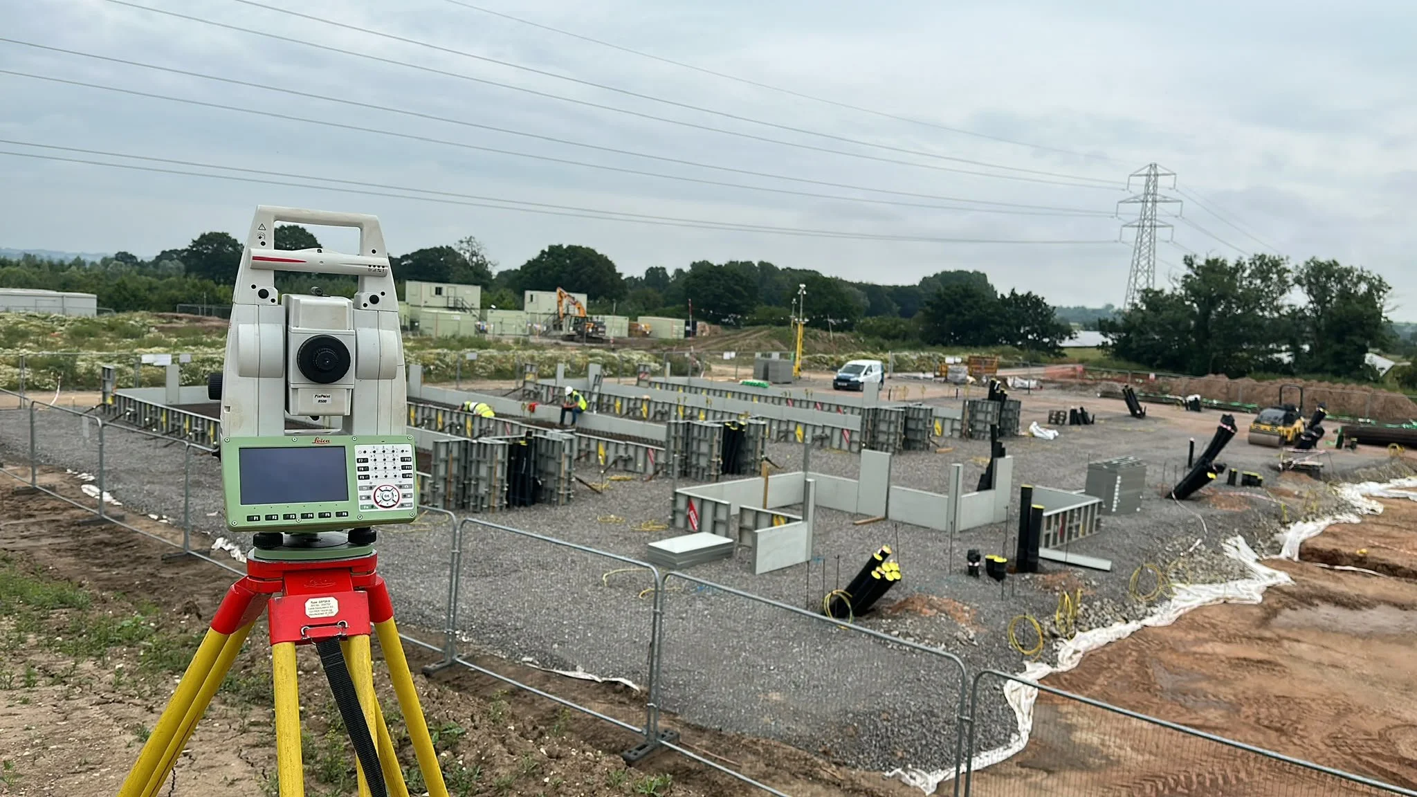
Residential development
Supporting developments from planning through to adoption.
From an initial understanding of the land through to the final record of highways and drainage, we support residential schemes with survey information that remains useful at every stage.
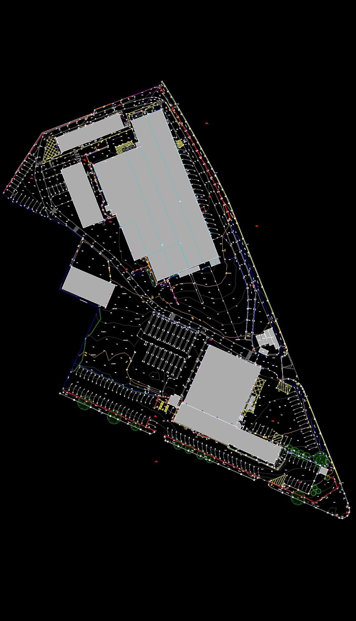
Commercial construction
Reliable survey control for demanding construction programmes.
Industrial, retail, logistics and commercial projects depend on coordinated information and accurate transfer of design onto site. We support project teams with control, setting out and verification built around the programme.
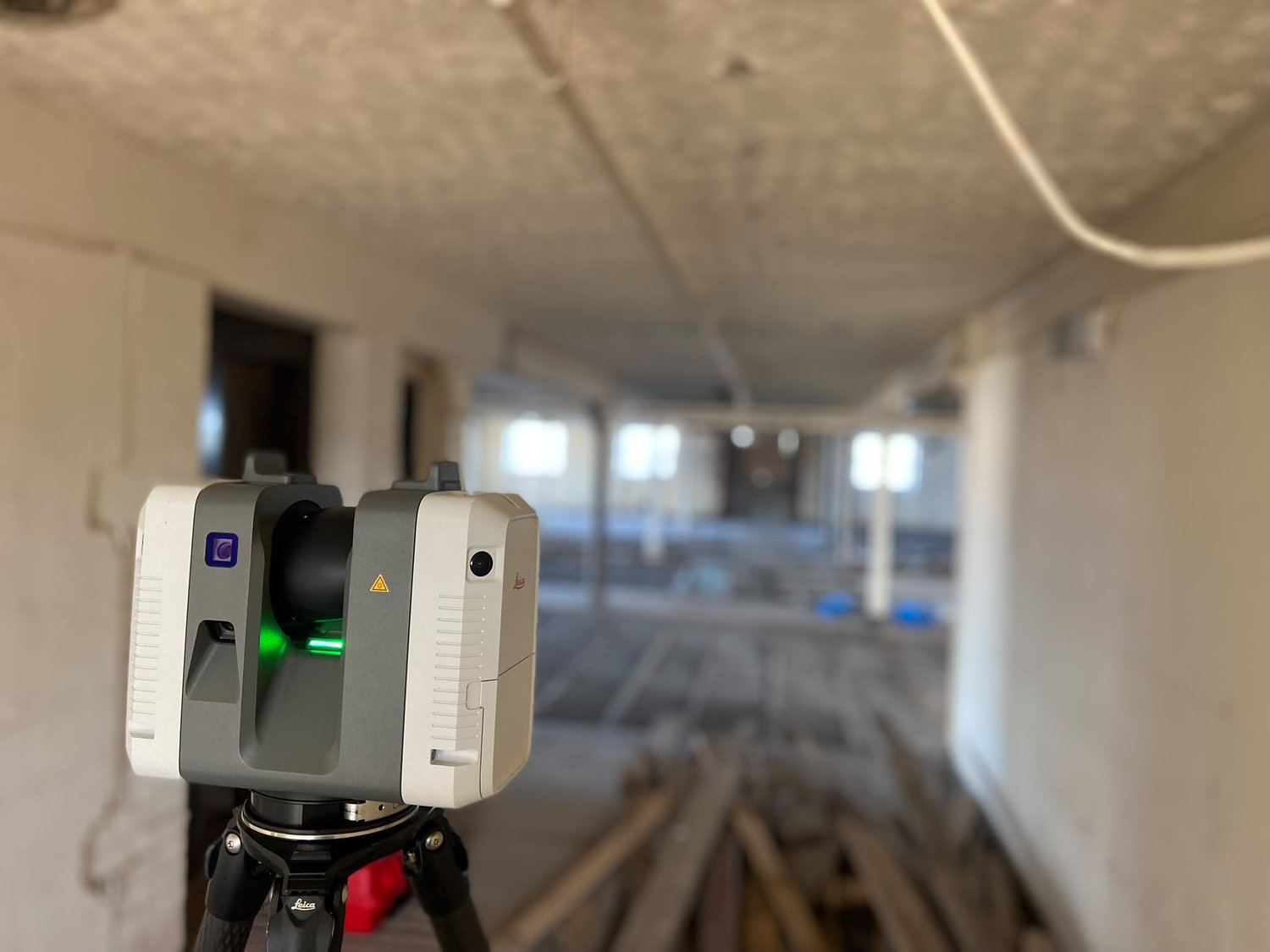
Infrastructure
Engineering-led survey support for complex civil works.
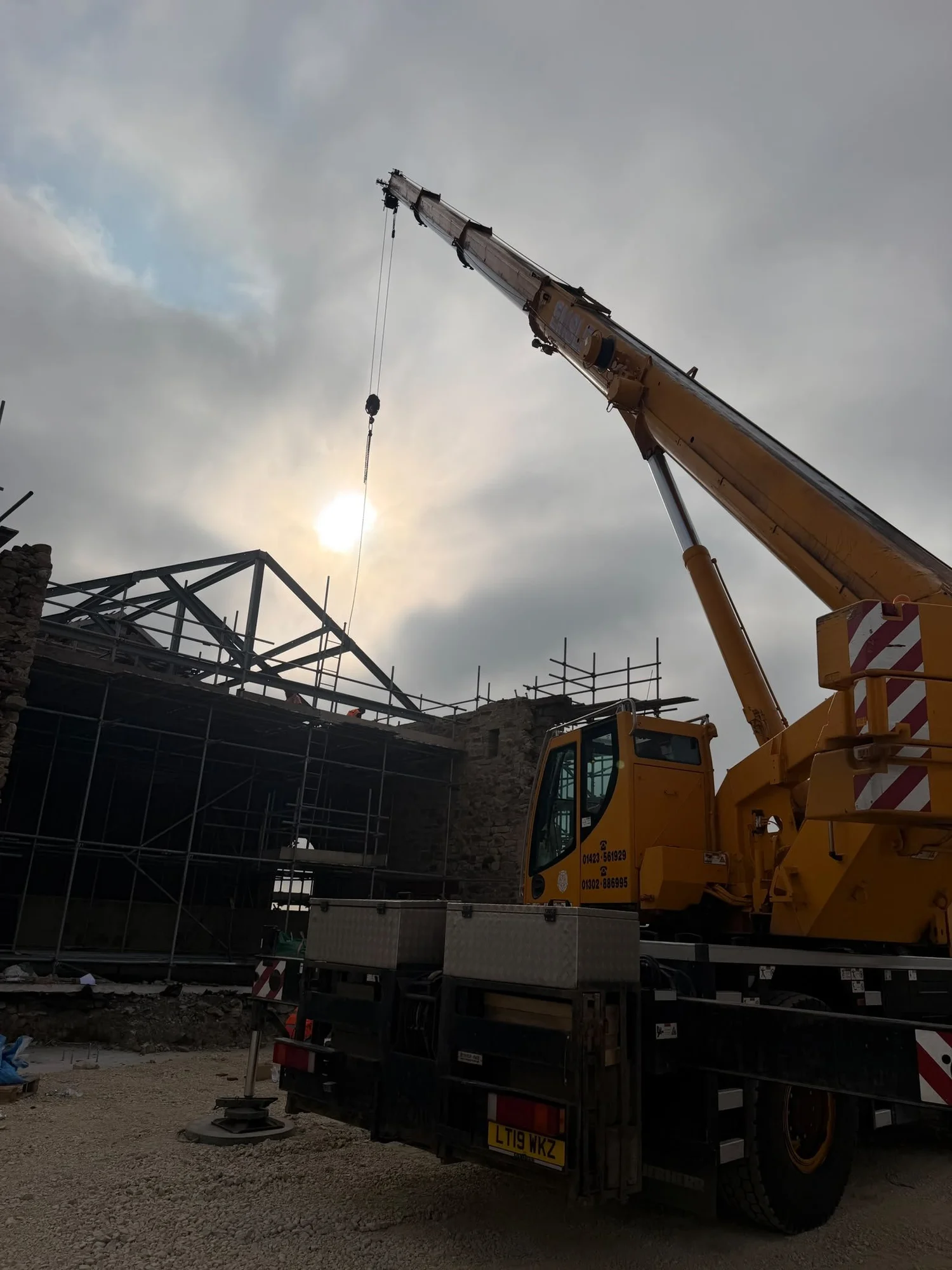
Roads, drainage, structures and public realm require information that is traceable, coordinated and practical on site. We work alongside civil engineering teams to establish control, set out critical elements and verify completed work.
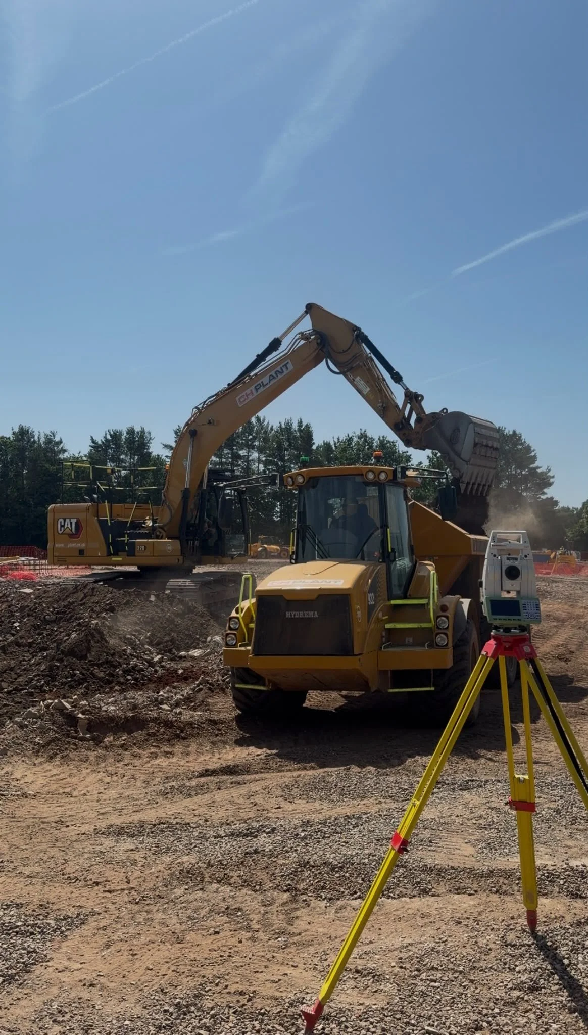
Energy & utilities
High-accuracy information for nationally important infrastructure.
From renewable energy sites and battery storage to substations and utility corridors, we provide spatial information for feasibility, design, construction and the final asset record.
Public sector
Clear survey records for public assets and investment.
We support local authorities, schools, housing providers and public bodies with dependable existing-condition, construction and asset information — presented clearly for design, procurement and long-term management.
Architects & engineers
Existing-condition information prepared for design.
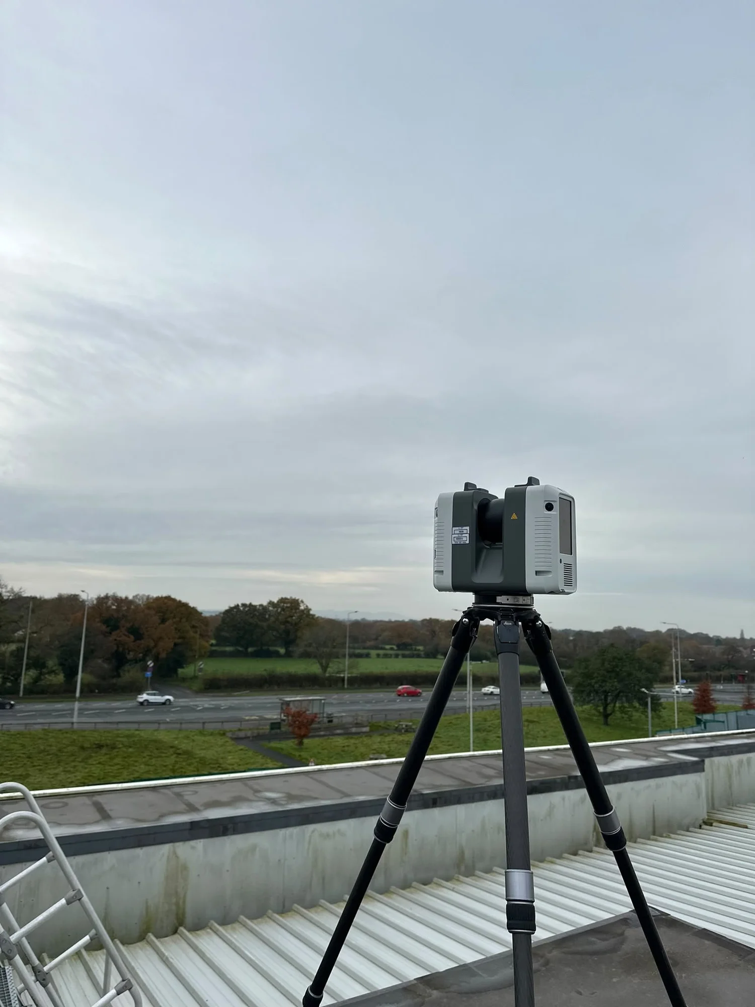
Design teams need more than a drawing. They need a coordinated, dependable representation of what exists. We provide measured building, topographic and three-dimensional information structured around the next stage of work.
The project lifecycle
The right survey at the right stage.
Survey requirements evolve as a project moves from opportunity to operational asset.
Land acquisition
Understand constraints and opportunity.
Topographic · Utilities · Boundaries · DronePlanning
Provide a dependable basis for proposals.
Topographic · Measured Building · UtilitiesDesign
Coordinate technical decisions.
Control · 3D / BIM · ModelsConstruction
Transfer design accurately onto site.
Setting Out · Monitoring · ProgressVerification
Confirm completed construction.
As-Built · Adoption · Volumes · QAAsset management
Maintain a reliable record over time.
Monitoring · Asset Records · UpdatesWho we support
The people responsible for moving projects forward.
From first information to final record
Let's discuss your project.
Whether you are at planning, design, construction or handover, we will help identify the survey information your project actually needs.