
Machine Control & Volumetrics
Digital terrain information
that keeps construction moving.
Machine control model creation, installation onto compatible plant, GNSS base station setup and volumetric surveys—supported by practical engineering survey experience.
Survey-led digital construction
Every machine model starts with accurate information.
Machine guidance is only as reliable as the survey control, existing ground information and design data behind it.
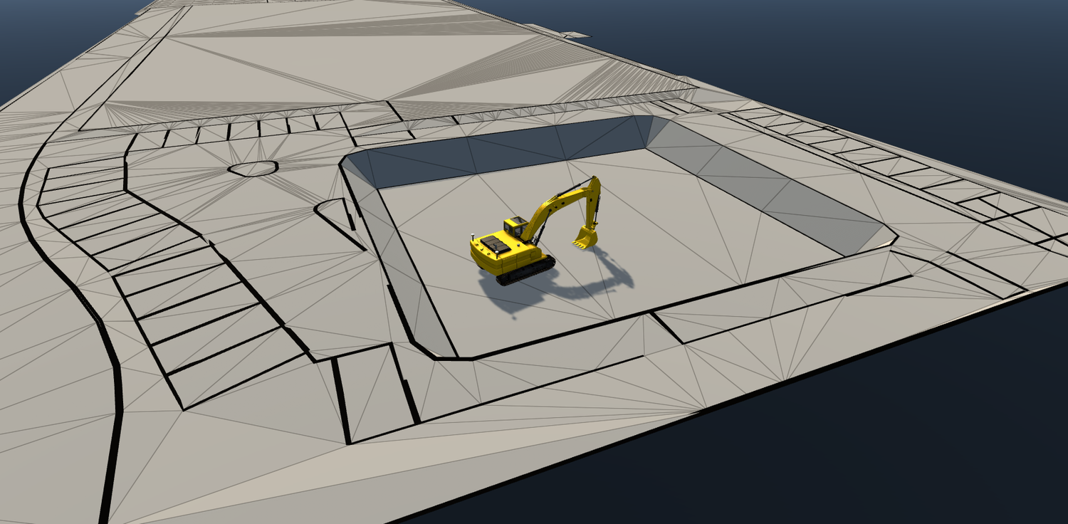
We help contractors convert approved design information into practical digital terrain models prepared for construction. The workflow can include survey verification, surface preparation, model creation, installation onto compatible plant and GNSS base station setup.
Because our involvement extends beyond the file itself, we can support the model on site, respond to design revisions and verify completed earthworks as the project progresses.
Complete machine control support
From design information to working plant.
Model preparation is one stage of a wider construction workflow.
We can assist with model creation, validation, installation onto compatible plant, GNSS base station setup and ongoing revisions. This gives contractors a single surveying contact from the first digital surface through to verification of the completed works.
The exact support provided is agreed around the project, machine platform, available design information and site control requirements.
Practical deployment support
More than an emailed model file.
Model creation
Machine-ready terrain models developed from approved engineering drawings, surfaces and design data.
Model validation
Review of supplied information, levels, extents and interfaces before deployment on site.
Plant installation
Assistance loading and checking models on compatible machine guidance systems.
Base station setup
GNSS base station establishment and connection to reliable site control where required.
Model revisions
Updated surfaces and files prepared as approved designs evolve during construction.
Verification surveys
Independent checks of levels, formations and completed earthworks against the design.
From design to earthworks
One coordinated digital construction workflow.
Design information
Approved drawings, surfaces and construction requirements are reviewed.
Survey verification
Site control and existing information are checked against the project coordinate system.
Terrain model
Existing and proposed surfaces are prepared and checked for construction use.
Machine deployment
The model is prepared for compatible plant and installed or issued as agreed.
Earthworks
Operators work from the digital design while the project progresses on site.
Verification & volumes
Completed surfaces and quantities can be surveyed, compared and reported.
Featured project
Haydock 92
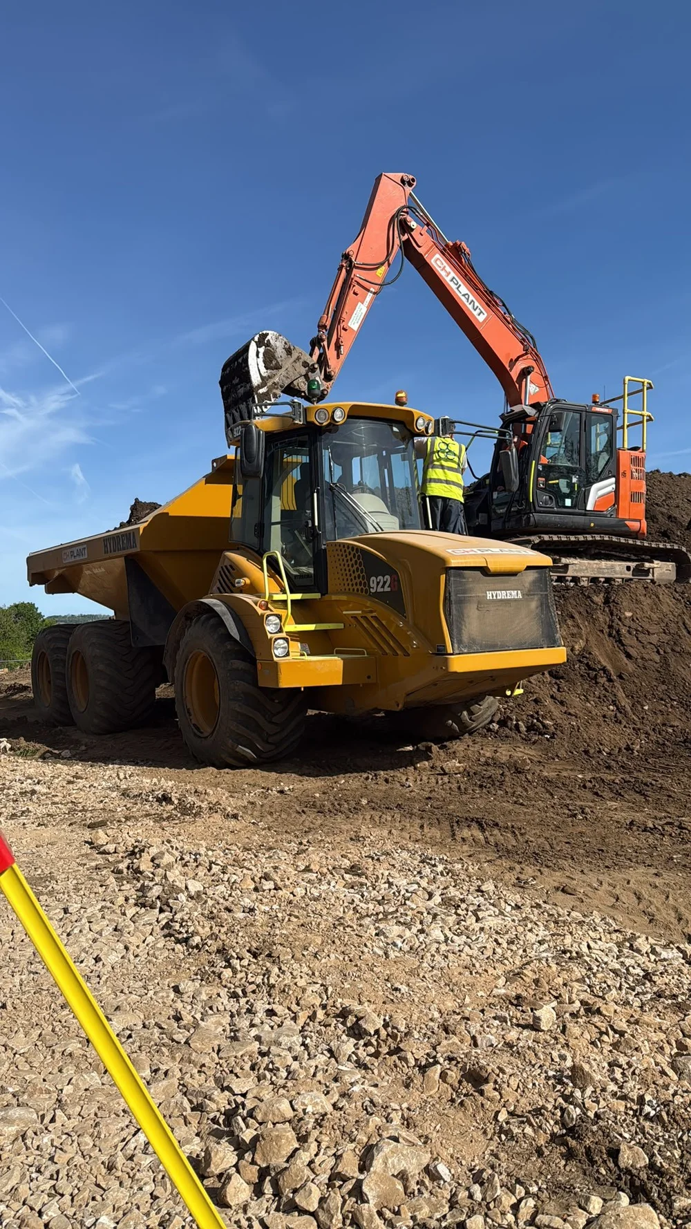
From the initial cut-and-fill exercise through to foundations ready for the steel frame.
Brookes Geospatial created the machine control model used by CH Plant to undertake the initial cut-and-fill exercise on this large development.
Following the bulk earthworks phase, we continued supporting the project by establishing the foundations on site, ready for erection of the structural steel frame.
- Project
- Haydock 92
- Delivery partner
- CH Plant
- Initial stage
- Machine control model and cut & fill
- Follow-on stage
- Foundation setting out for steel frame erection
Volumetric surveys
Reliable quantities for commercial and operational decisions.
Measured surfaces can be compared to calculate material quantities, monitor earthworks progress and provide a clearer picture of changing site conditions.
GNSS, total station or aerial survey methods can be selected according to the site, required accuracy and scale of the exercise. Results can be issued as clear volume calculations, drawings, surfaces or supporting reports.
Stockpile measurement
Measured quantities for stored aggregates, soils and construction materials.
Cut-and-fill calculations
Comparison of existing and proposed surfaces to understand earthworks movement.
Progress measurement
Repeat surveys used to assess completed works and changing site quantities.
Quantity verification
Independent measurements supporting applications, reconciliation and commercial review.
Material movement
Information to support decisions around excavation, reuse, import and export.
Compatible workflows
Prepared around the equipment operating on site.
Machine control files and deployment support can be prepared for compatible Leica, Trimble and Topcon workflows, subject to the specific machine system, controller and file requirements.
Typical applications
Digital terrain information for active construction.
Suitable survey and modelling methods are selected around the project stage, required outputs and practical conditions on site.
Industrial developments
Housing developments
Commercial sites
Roads and infrastructure
Solar farms
Bulk earthworks
Quarries and stockyards
Land remediation
Why contractors use Brookes Geospatial
Survey knowledge carried through to construction.
Survey-led approach
Digital models are grounded in control, coordinates and verified site information.
Practical site support
Assistance can continue through installation, base setup and live construction.
Responsive revisions
Updated files can be prepared when approved designs change during the works.
Commercial clarity
Independent volume information supports progress and quantity discussions.
Engineering continuity
Support can continue from earthworks into foundations and structural setting out.
Useful deliverables
Models, surfaces, drawings and reports prepared for real construction workflows.
Frequently asked questions
Machine control and volumetrics, explained.
Share the machine system, project coordinates, available design files and required outputs so the most suitable workflow can be confirmed.
Can you create machine control models from engineering drawings?+
Yes. Approved drawings, CAD data and design surfaces can be reviewed and developed into machine-ready terrain information, subject to the quality and completeness of the source information.
Can you install models onto construction plant?+
We can assist with loading and checking models on compatible plant. The exact process depends on the machine guidance platform, controller and available site setup.
Can you establish a GNSS base station?+
Yes. We can establish or assist with base station setup using reliable project control and the agreed site coordinate system.
Can models be updated during construction?+
Yes. Approved design changes can be incorporated and revised model files issued as the project develops.
Can you calculate stockpile and cut-and-fill volumes?+
Yes. Volumes can be calculated from measured surfaces for stockpiles, earthworks progress, cut and fill, material movement and quantity verification.
Which machine control systems do you support?+
Workflows can be prepared for compatible Leica, Trimble and Topcon systems. File requirements should be confirmed against the specific machine and controller before issue.
From the first cut to final verification