
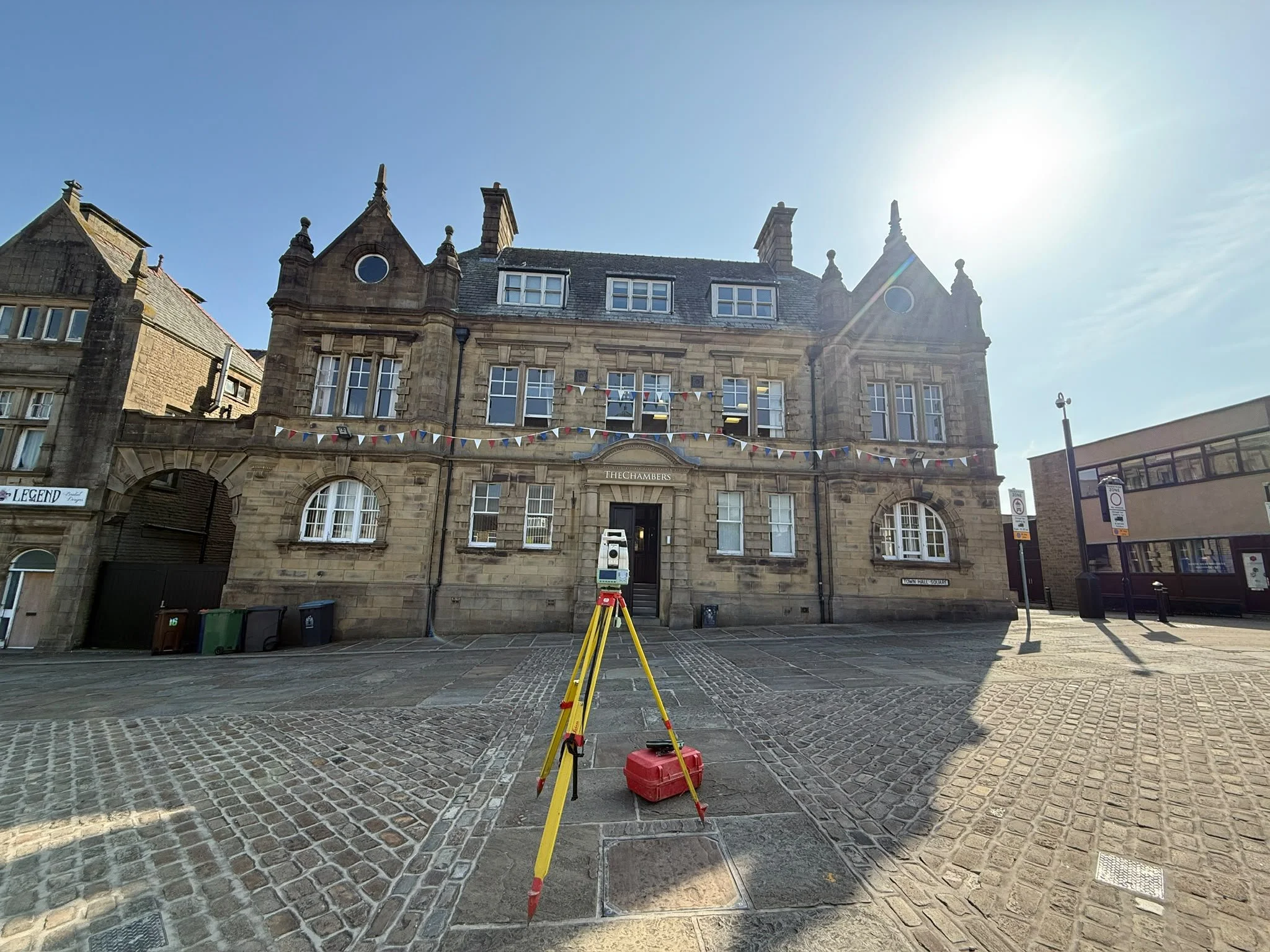
Monitoring Surveys
Measure change.
Understand movement.
Independent movement monitoring that gives project teams clear evidence of change throughout construction and engineering works.
Every millimetre matters
Reliable evidence for decisions that cannot be based on assumption.
Monitoring is not simply about collecting measurements. It is about establishing a dependable baseline, identifying meaningful change and presenting the results clearly.
Whether the subject is a retaining wall, neighbouring property, excavation, structural frame or critical asset, a consistent monitoring programme provides objective data throughout the project lifecycle.
Each observation is compared against an established baseline, allowing movement to be assessed over time rather than reacting to a single isolated measurement.
Clarity through consistent observation
Monitoring should do more than produce numbers. It should make change easy to understand.
Where monitoring matters
Monitoring programmes built around the asset, risk and construction activity.
Structural monitoring
Repeat observations of buildings, bridges, retaining structures and structural frames.
Adjacent property monitoring
Independent survey data for neighbouring assets throughout construction activity.
Excavation monitoring
Observation of structures and control points during deep excavation and temporary works.
Rail and highway monitoring
Monitoring support where nearby works could affect transport infrastructure.
Crack and deformation monitoring
Repeatable observations designed to identify measurable change over time.
Long-term asset monitoring
Ongoing monitoring programmes for structures and infrastructure requiring continued observation.
The monitoring process
A consistent methodology from baseline to reporting.
Review requirements
The asset, construction activity, monitoring specification and required reporting are reviewed before work begins.
Establish stable control
Survey control is positioned beyond the anticipated influence of the works to support repeatable observations.
Install monitoring points
Permanent prisms or suitable monitoring points are fixed securely to the structure at agreed locations.
Observe multiple rounds
Multiple rounds are recorded to each target during every visit using a consistent observation method.
Average and compare
Observations are averaged to reduce random variation before comparison with the baseline and previous visits.
Report clearly
Movement is presented through concise reports, tables, key plans and graphs for the wider project team.
Confidential case study
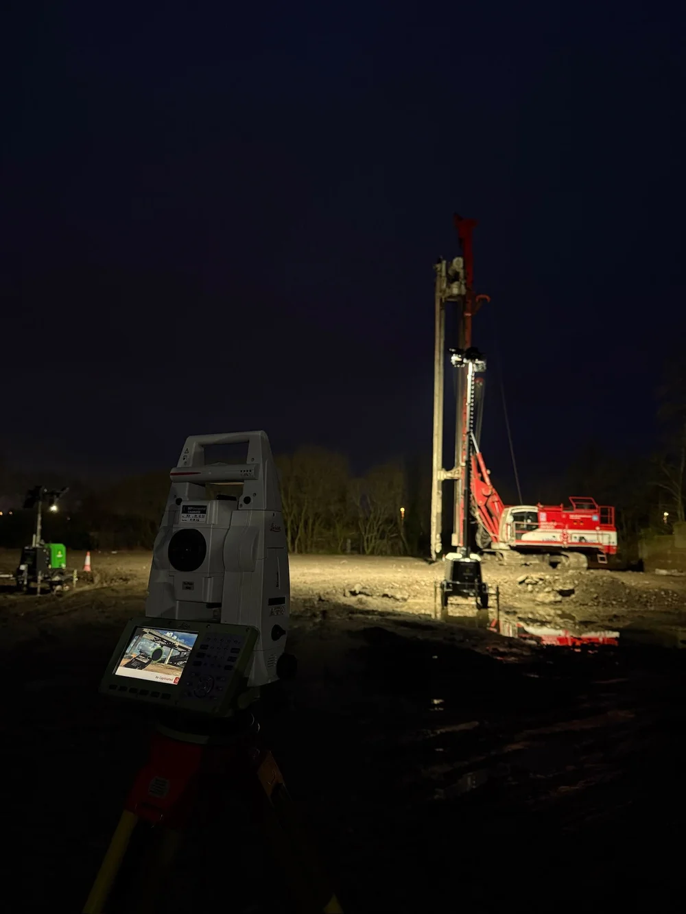
Monitoring neighbouring properties during piling works.
Independent observations established whether nearby buildings were moving as construction progressed.
Brookes Geospatial was appointed to monitor properties surrounding a live construction site where piling works had the potential to affect neighbouring masonry structures.
A stable control network was established approximately 100 metres beyond the affected site area. Permanent monitoring prisms were then fixed directly into the masonry at agreed locations.
During every visit, multiple rounds of observations were recorded to each target and averaged before comparison with the established baseline. This created a consistent, impartial record of measured movement throughout the works.
Movement becomes meaningful over time
A clear visual record of each observation.
Monitoring reports can include visit-by-visit change, cumulative movement and clear graphical comparison against the established baseline.
The result is a concise technical record that helps the wider project team understand what has changed, when it changed and whether a trend is developing.
Illustrative movement graphic using whole millimetres. Project reporting is based on the agreed monitoring specification, established control and site-specific observations.
What you receive
Survey information presented clearly and consistently.
Baseline survey
Stable survey control network
Repeat monitoring visits
Movement analysis
Movement graphs and comparison tables
Key plans and target schedules
PDF monitoring reports
Visit-by-visit observation records
Why Brookes Geospatial
Objective measurement, consistent methodology and reporting that is easy to understand.
Independent observations
Objective survey data provided without forcing a preferred structural conclusion.
Stable control
Control networks positioned to support dependable comparison throughout the monitoring programme.
Multiple rounds
Repeated observations to each target, averaged to reduce the effect of random measurement variation.
Consistent methodology
The same observation and processing approach applied across successive monitoring visits.
Clear reporting
Movement presented through graphs, tables, key plans and concise technical commentary.
Construction aware
Monitoring programmes coordinated around piling, excavation, demolition and changing site activity.
Frequently asked questions
Monitoring survey questions, answered.
Send us the site information, the structures to be observed and any monitoring specification. We can review the requirements and propose an appropriate programme.
What is a monitoring survey?+
A monitoring survey uses repeat observations to measure whether a point, structure or asset has changed position over time.
How accurate are monitoring surveys?+
Accuracy depends on the monitoring specification, equipment, control network, observation method, distances and site conditions. The required precision should be agreed before the programme begins.
How often should monitoring be carried out?+
Visit frequency depends on the asset, construction activity, risk and project requirements. Monitoring may be daily, weekly, monthly or triggered by particular stages of work.
Can monitoring continue for several years?+
Yes. Monitoring programmes can continue over extended periods, provided control and monitoring points remain suitable and accessible.
Do you provide movement graphs?+
Yes. Reports can include movement graphs showing changes in Easting, Northing and Elevation over successive visits.
Can monitoring be combined with a topographical survey?+
Yes. A topographical survey can be undertaken alongside the monitoring work where wider site information is required.
Why are multiple rounds observed to each monitoring point?+
Multiple rounds provide repeated observations to each target. These can be averaged during processing to reduce random variation and improve confidence in the visit comparison.
Can permanent survey control be established?+
Yes. A suitable control network can be established beyond the anticipated influence of the works to support repeat monitoring observations throughout the project.
Do you provide structural advice?+
No. Brookes Geospatial provides impartial survey observations and movement data. Structural interpretation, tolerances and engineering recommendations remain with the appointed engineer or design team.
Understand change before it becomes a problem