
PAS128 Utility Surveys
Know what lies beneath.
Coordinated utility mapping, topographical surveying and design-ready deliverables that reduce uncertainty before construction begins.
Confidence before excavation
Utility information captured, coordinated and ready to use.
The purpose of a utility survey is not simply to produce lines on a drawing. It is to give designers, engineers and contractors a clearer understanding of risk.
Brookes Geospatial undertakes PAS128 utility surveys for construction, redevelopment, infrastructure and design projects across the North West, Yorkshire and throughout the UK.
Utility information can be coordinated with a topographical survey to create one reliable dataset for design, planning and construction.
Reduce uncertainty before work begins
The most expensive utility strike is the one that could have been avoided.
What we deliver
A complete utility survey service built around the project.
PAS128 utility surveys
Structured buried utility investigation and survey delivery aligned with the PAS128 framework.
Buried service mapping
Clear mapping of detected underground services, surface evidence and associated utility features.
Topographical + utility surveys
One coordinated survey capturing existing ground conditions and underground utility information.
Design-ready survey models
2D drawings, 3D drawings and surface models prepared for immediate use by design teams.
Utility verification
Targeted investigation where records, detected routes or proposed works require greater clarity.
Construction support
Practical survey information supporting excavation planning, setting out and site coordination.
One coordinated workflow
From existing records to construction-ready information.
Existing records are reviewed, utilities investigated, surface features surveyed and all information combined into clear design-ready deliverables.
Existing conditions
Investigate before design.
Records · Detection · Topographical survey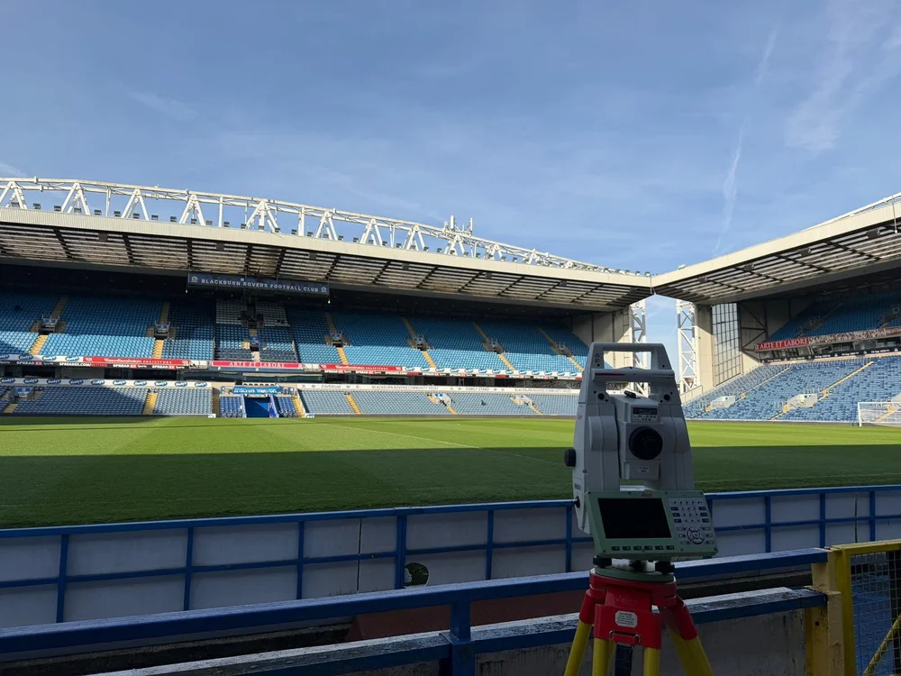
Coordinated delivery
One reliable dataset.
2D · 3D · Surface modellingReady for use
Survey once. Design immediately.
Clear survey information prepared around the needs of engineers, consultants and contractors.Featured project
Ewood Park
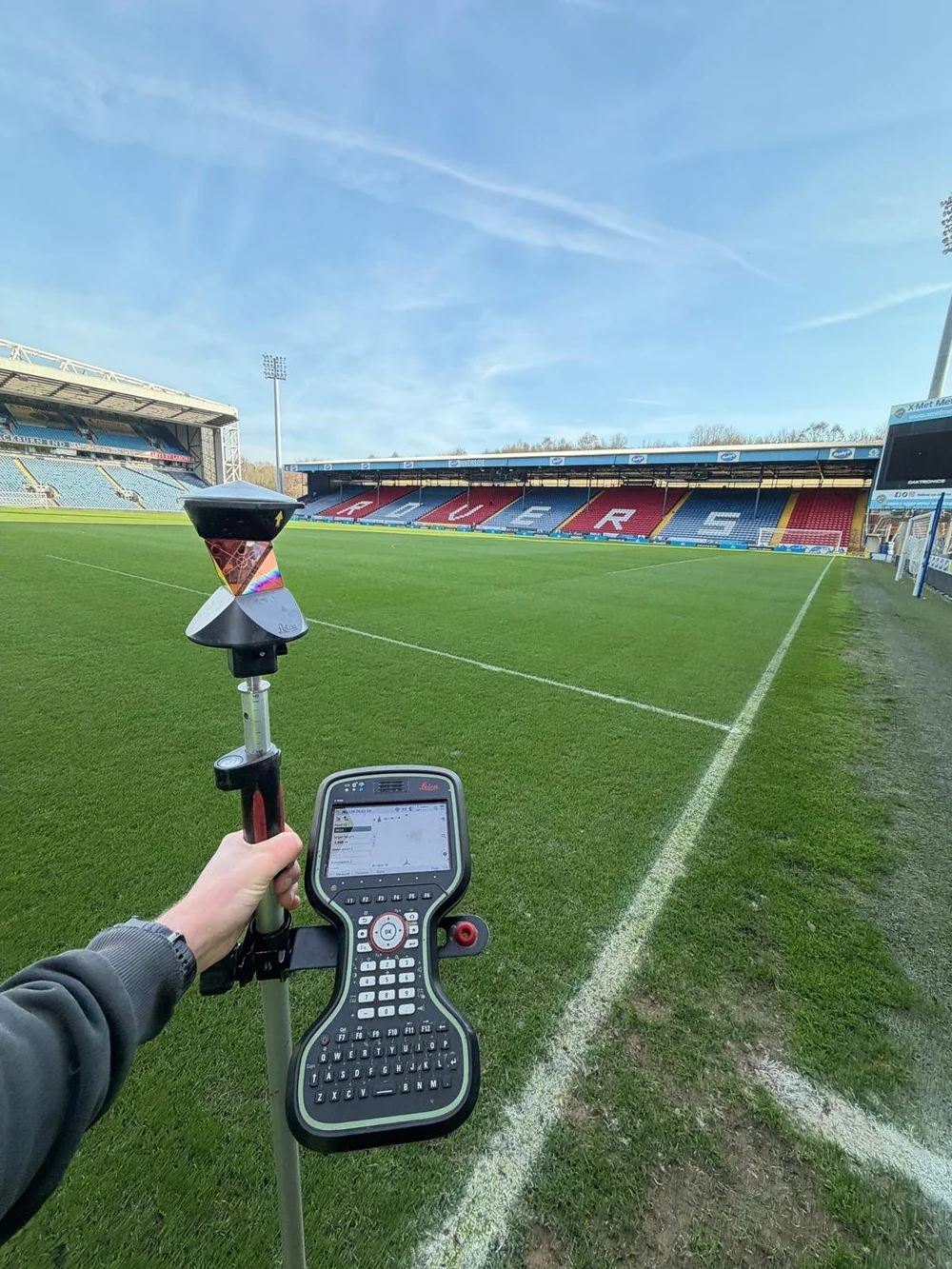
Full topographical and PAS128 utility survey to support STRI Group with a pitch redesign for Blackburn Rovers FC.
Surveyed once. Ready for design immediately.
A coordinated dataset from the outset.
STRI Group appointed Brookes Geospatial to undertake a full topographical and PAS128 utility survey of Ewood Park in support of the proposed pitch redesign.
The objective was not simply to record existing conditions, but to provide coordinated survey information that could move directly into the design process.
Alongside comprehensive 2D and 3D survey drawings, a 3D surface model was produced, allowing STRI to begin modelling immediately.
Topographical survey
Existing levels, pitch features and surrounding infrastructure.
PAS128 utility survey
Detected buried utilities coordinated with the wider site survey.
2D drawings
Clear CAD information for review and project coordination.
3D drawings
Three-dimensional survey information for digital workflows.
3D surface model
A coordinated surface enabling STRI to begin modelling immediately.
Design-ready from day one
One survey. One coordinated model. No wasted time.
By combining topographical and utility information within a single coordinated survey, the design team received the data required to progress immediately.
Why Brookes Geospatial
Utility surveys designed around the people who need to use them.
Coordinated delivery
Topographical and utility data issued as one coherent dataset.
PAS128 methodology
Survey planning and delivery structured around recognised practice.
Design-ready outputs
2D, 3D and surface-model deliverables for practical use.
Clear CAD layering
Readable drawings with logical classification and structure.
Construction understanding
Information shaped around real design and site requirements.
Responsive delivery
Clear scope, practical communication and dependable turnaround.
Frequently asked questions
Utility survey questions, answered.
Send us the site boundary, project purpose and available records. We can advise on the survey scope and deliverables.
What is a PAS128 utility survey?+
PAS128 provides a structured framework for planning, undertaking and reporting underground utility detection and verification surveys.
When should I commission a utility survey?+
Before design, excavation, drainage, piling, foundations or any work that could interact with buried services.
Can you combine a utility survey with a topographical survey?+
Yes. We can deliver a combined utility and topographical survey, providing both underground service information and above-ground site detail in a single coordinated dataset. This gives designers and contractors a more complete understanding of the site, often reducing the need for multiple surveys and repeat site visits.
Do you provide 3D utility information?+
Yes. Utility information can be coordinated within 3D survey drawings and wider digital models where required.
Can every buried service be guaranteed to be found?+
No detection method can guarantee every service will be identified. Conditions, material, depth and access affect detection, so limitations must be considered alongside safe excavation practice.
Build with confidence from the ground down