
As-Built Surveys
Verify what
has been built.
Independent as-built surveys that provide an accurate record of completed construction for verification, quality assurance and project handover.
Construction verified
Accurate evidence of completed works, before the next stage begins.
Design drawings show what was intended. As-built surveys confirm what now exists on site.
Independent survey information allows project teams to compare completed construction against design, identify discrepancies and resolve issues before they are concealed by following trades or permanent finishes.
From foundations and drainage to highways, structural steelwork and complete developments, each survey creates a coordinated record that can support quality assurance, adoption, handover and future asset management.
Evidence, not assumption
Construction should be verified against what was designed—not accepted because it appears complete.
Where verification matters
As-built information for critical stages of construction and handover.
Foundations and piles
Position and level verification before structural works progress above ground.
Drainage networks
Coordinated records of chambers, pipework, gullies, inverts and connection points.
Highways and external works
Kerb lines, channels, levels, road geometry and completed infrastructure for adoption and handover.
Structural frames
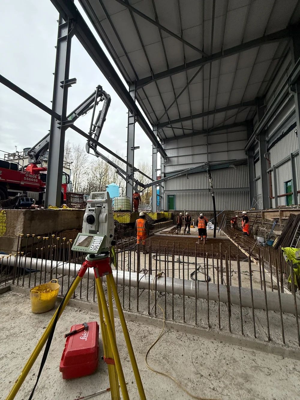
Verification of steelwork, columns, holding-down bolts and constructed geometry.
Utilities and services
Records of installed services before backfilling, surfacing or permanent finishes conceal them.
Completed developments
Coordinated survey information for project completion, asset records and future maintenance.
The as-built process
A controlled workflow from project information to verified record.
Review project information
Design drawings, specifications, survey requirements and required deliverables are reviewed before attendance.
Verify survey control
Existing site control is checked and used where appropriate. Additional control is established only where required.
Survey completed construction
Relevant features, positions and levels are observed using methods suited to the required accuracy and site conditions.
Process survey data
Field observations are checked, coordinated and converted into clear project information.
Verify completed works
Surveyed construction can be compared against design positions, levels and agreed tolerances where instructed.
Deliver project information
Coordinated CAD drawings, schedules, reports or digital data are issued in the agreed formats.
Verify critical construction
Confirm position and level before work becomes inaccessible.
The best time to identify a discrepancy is before the next construction stage begins.
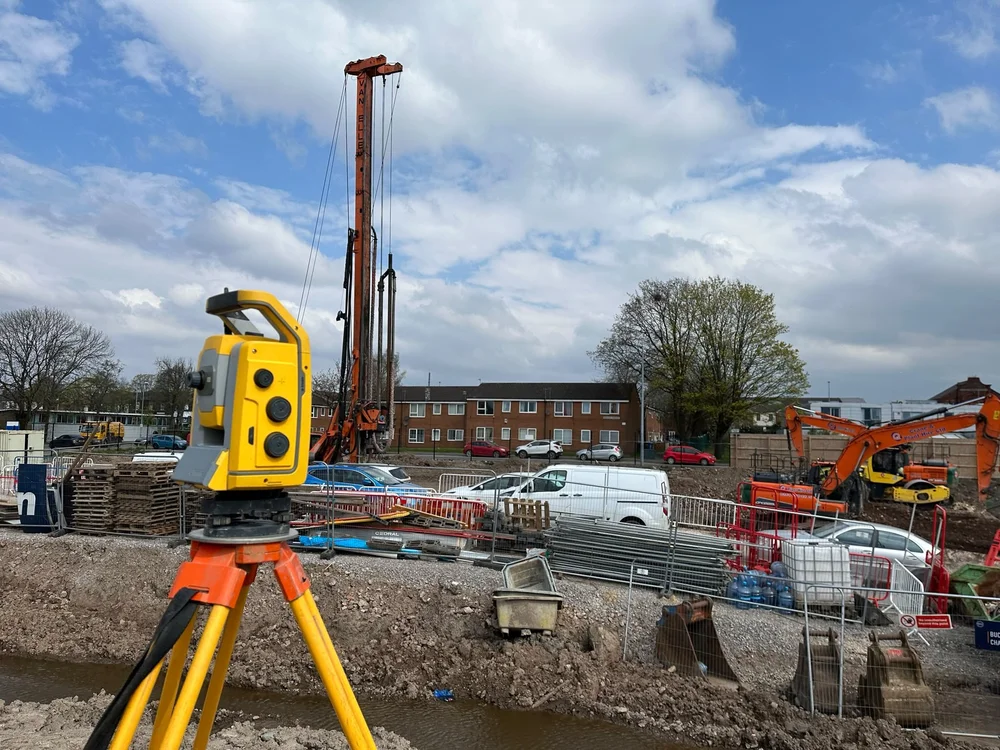
Foundations, piles, drainage, holding-down bolts and buried services can quickly become concealed by concrete, backfill, surfacing or structural work.
A timely as-built survey creates an objective record while the construction remains visible and corrective action is still practical.
Where design information is provided, surveyed positions and levels can be clearly presented for review by the project engineer, contractor or design team.
Project example
Highway & Drainage Adoption Survey.
Brookes Geospatial completed an as-built survey across a newly constructed residential development to create a coordinated record for highway and drainage adoption.
Approximately 600 metres of highway were surveyed together with the complete drainage network, including manholes, gullies, kerb lines, channels and associated highway infrastructure.
Highway levels were recorded at approximately five metre intervals. The completed information was processed into coordinated CAD drawings for adoption, future maintenance and long-term asset management.
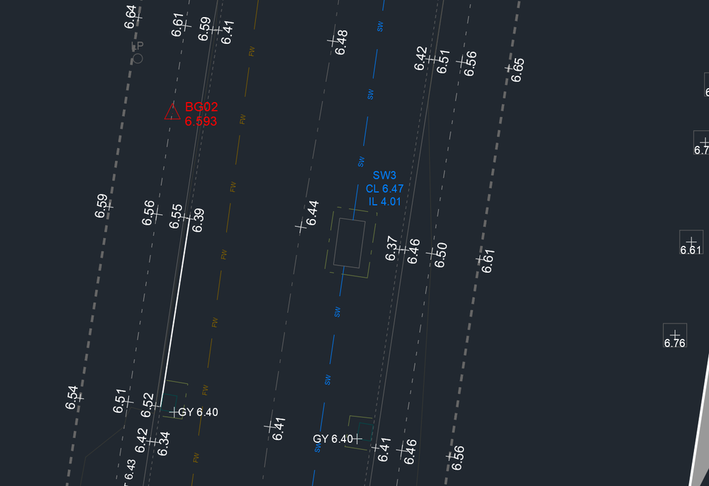
Information shown is representative of the completed survey record and project deliverables.
What you receive
Clear survey information ready for review, handover and record.
Coordinated 2D and 3D CAD drawings
Surveyed positions and levels
Drainage and asset schedules
Design comparison information
Deviation or verification reports
PDF drawings for project review
Digital data in agreed formats
Project control and coordinate information
Why Brookes Geospatial
Independent verification delivered with construction awareness.
Independent record
Objective survey information that shows what has been constructed on site.
Control checked
Existing project control is verified before survey information is tied into the established coordinate system.
Construction aware
Attendance and deliverables coordinated around live programmes and critical hold points.
Clear comparison
Surveyed construction presented clearly against relevant design information where required.
Flexible outputs
CAD, PDF, schedules, reports and digital data prepared around project requirements.
Handover ready
Accurate records that support adoption, completion, maintenance and future asset management.
Frequently asked questions
As-built survey questions, answered.
Send us the design drawings, project control information, required features and deliverable specification. We can review the scope and propose an appropriate survey.
What is an as-built survey?+
An as-built survey records the position, level and geometry of completed construction so that what exists on site can be documented and, where required, compared against design information.
When should an as-built survey be carried out?+
As-built surveys should be completed at suitable hold points, particularly before foundations, drainage, services or other critical work becomes concealed or inaccessible.
Can you compare completed works against design drawings?+
Yes. Where suitable design information and project control are supplied, surveyed positions and levels can be presented against design for review by the relevant project team.
Do you establish new survey control on every project?+
No. Existing site control is checked and used where appropriate. Additional control is established only where the existing network is unsuitable or further coverage is required.
Can you survey drainage before it is backfilled?+
Yes. Surveying drainage before backfilling provides the strongest record of pipe routes, chambers, connections and invert levels while the installation remains visible.
What formats can the survey be delivered in?+
Typical outputs include DWG, DXF and PDF drawings, coordinate schedules, spreadsheets, reports and other agreed digital formats.
Can you provide information for highway or drainage adoption?+
Yes. As-built surveys can record completed highways, drainage networks and associated assets to support adoption submissions, handover and future maintenance.
How accurate is an as-built survey?+
Required accuracy depends on the construction element, design tolerance, survey method, control quality and project specification. These requirements should be agreed before survey work begins.
Do you decide whether construction is acceptable?+
Brookes Geospatial provides independent survey evidence. Acceptance, engineering interpretation and decisions against contractual tolerances remain with the appointed engineer, designer or project team.
Confirm construction before the project moves forward