
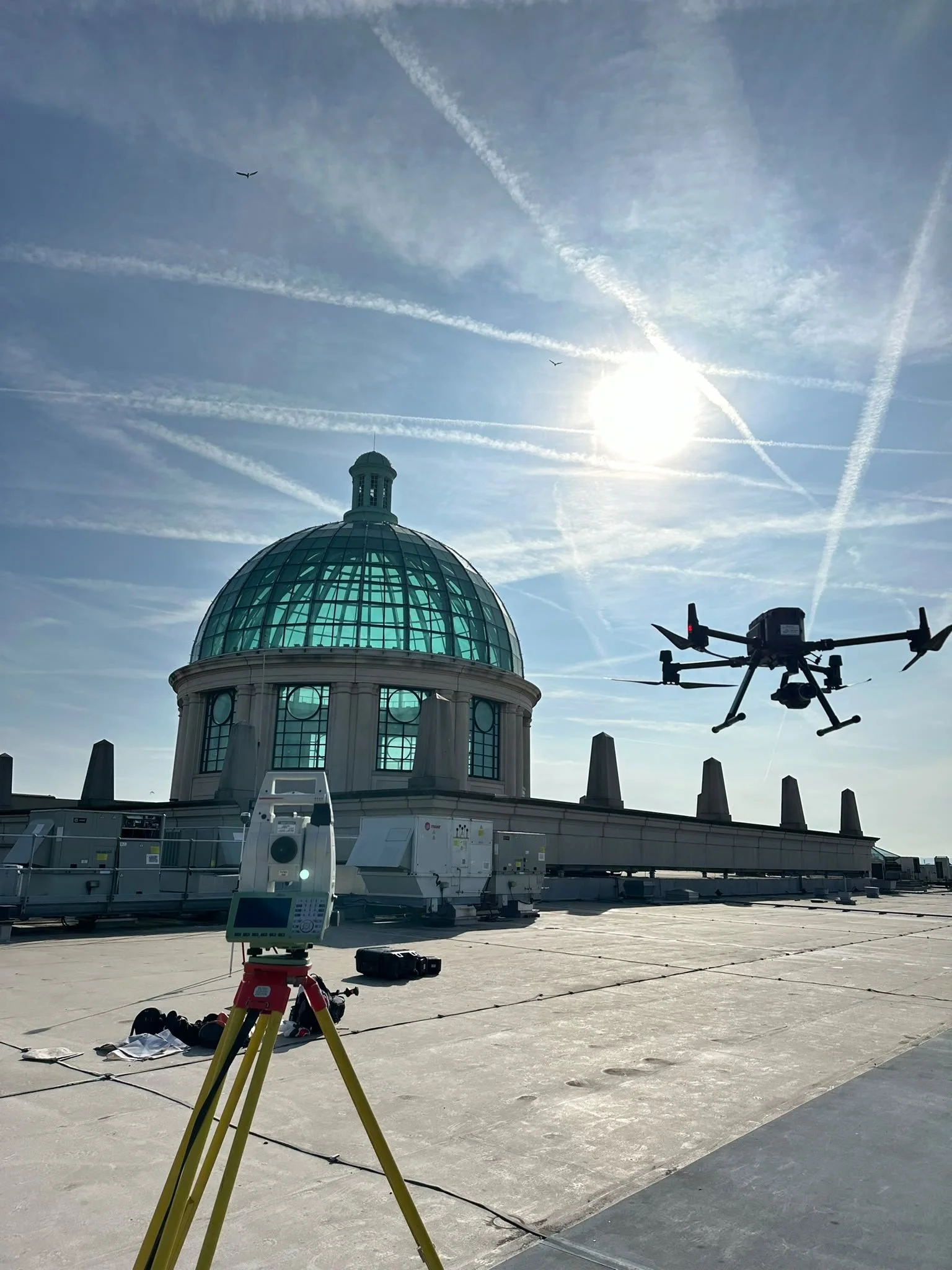
Aerial Surveying
See the whole site.
Understand every detail.
Coordinated aerial survey information for planning, engineering and construction — captured efficiently and underpinned by professional survey control.
A clearer view of complex sites
Surveying from a different perspective.
UAV surveying provides an efficient way to capture extensive and difficult-to-access areas while maintaining the structure, control and quality expected from an engineering survey.
High-resolution aerial imagery can be processed into coordinated survey datasets for planning, design, progress review and construction decision-making.
The aerial capture is considered alongside the wider project requirement, allowing it to complement topographic surveying, terrain modelling, volumetrics and terrestrial observations where appropriate.
Professional survey methodology
Accuracy starts before take-off.
Every aerial survey is supported by a robust survey control network established using a combination of GNSS and total station observations.
This provides a dependable spatial framework for the aerial capture, helping ensure the resulting datasets are correctly referenced within the agreed project coordinate system.
Control, flight planning, capture conditions, processing and quality assurance are considered together so the final information is suitable for its intended engineering, planning or construction use.
A controlled workflow
From site control to coordinated deliverables.
Each stage is planned around the required outputs, site conditions and level of detail.
Survey control
GNSS and total station observations establish the project framework.
Mission planning
Coverage, ground resolution, access and constraints are reviewed before capture.
Aerial capture
Overlapping imagery is collected systematically across the required area.
Processing
Imagery and survey observations are combined into a coordinated dataset.
Quality assurance
Control, coverage and outputs are reviewed against the project requirements.
Delivery
Information is issued in practical formats for the wider project team.
What aerial capture can produce
Useful outputs, not just impressive imagery.
Orthomosaic imagery
High-resolution, georeferenced aerial imagery for design review, reporting and site records.
Digital terrain models
Coordinated surface information supporting earthworks, drainage and site design.
Point clouds
Dense three-dimensional survey data for analysis, coordination and further modelling.
Mesh models
Textured three-dimensional representations for inspection, context and visual communication.
Contours and levels
Terrain information prepared for planning, engineering and construction workflows.
Progress imagery
Repeatable aerial records that communicate construction progress across the wider site.
Where aerial surveying adds value
Efficient capture across complex and extensive sites.
The suitability of UAV surveying depends on the site, airspace, required accuracy, surface conditions and intended deliverables. We review these factors before recommending the method.
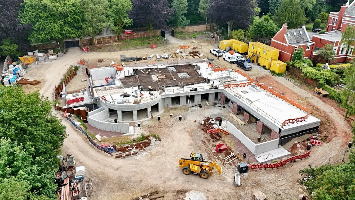
Housing developments
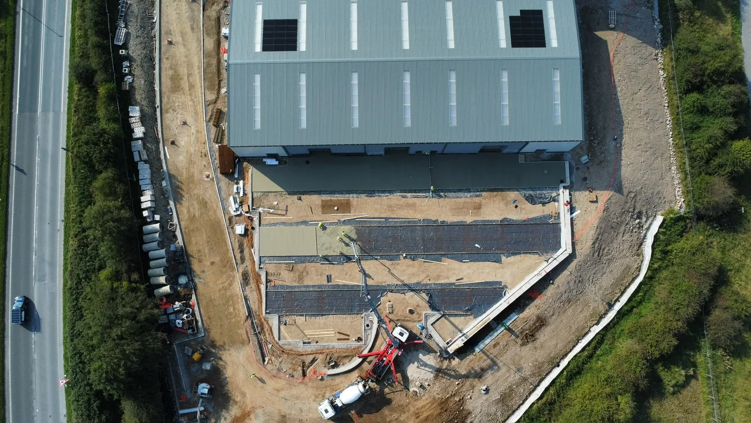
Commercial construction
Solar and energy sites
Infrastructure corridors
Earthworks and land development
Quarries and stockpiles
Utilities and asset records
Construction progress

Part of a wider surveying capability
One coordinated survey dataset.
Aerial capture can be combined with terrestrial observations, topographic detail and established project control, creating consistent information that supports design, setting out, construction and verification.
Why aerial surveying
A practical method when scale, access and visibility matter.
Large-area coverage
Capture extensive sites efficiently and consistently.
Safer access
Reduce unnecessary ground access to difficult or hazardous areas.
Site-wide context
Understand individual features within the wider project environment.
Coordinated outputs
Integrate aerial information with wider survey and design datasets.
Clear communication
Present complex sites in a format that is easy for project teams to review.
Repeatable records
Build a visual and measurable record as projects progress.
Frequently asked questions
Aerial survey questions, answered.
Send us the site location, boundary and required outputs, and we can advise whether aerial surveying is suitable.
How accurate are aerial surveys?+
Accuracy depends on the required ground resolution, survey control, flight geometry, terrain, surface visibility and processing method. The intended use and accuracy requirement should be agreed before capture.
Do you establish survey control?+
Yes. A robust survey control network can be established using a combination of GNSS and total station observations to coordinate the aerial dataset within the required project system.
Can aerial surveys be combined with topographic surveys?+
Yes. Aerial capture can complement terrestrial topographic surveying where additional detail, obscured features or higher-confidence ground observations are required.
What deliverables can be provided?+
Depending on the project, deliverables may include georeferenced imagery, point clouds, terrain models, contours, CAD information, mesh models and progress imagery.
Is UAV surveying suitable for every site?+
No. Airspace, weather, access, vegetation, surface visibility, privacy, site restrictions and the required output all influence whether aerial capture is the right method.
Can you provide repeat progress captures?+
Yes. Repeat aerial capture can provide a consistent visual record across agreed construction stages, subject to site and flight conditions.
A wider view, grounded in survey control