
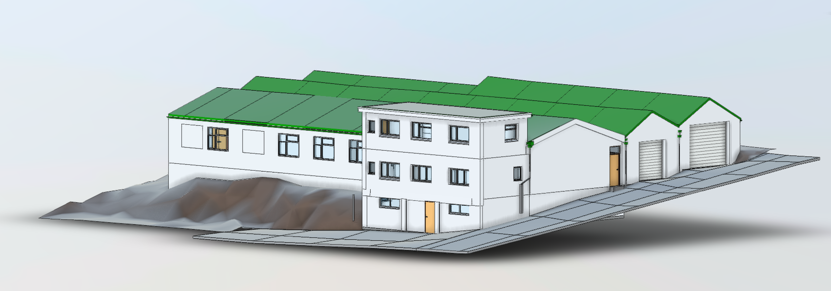
3D Modelling & BIM
Existing buildings,
understood digitally.
Accurate three-dimensional models developed from measured survey data and laser scanning, supporting planning, refurbishment, design coordination and construction.
Measured reality, structured for design
Every model begins with reliable survey information.
Three-dimensional modelling gives architects, engineers and project teams a coordinated digital representation of existing conditions before design decisions are made.
Using measured building surveys, laser scanning and established survey control, captured information is developed into practical models that communicate geometry, levels, relationships and spatial constraints clearly.
The required model content is agreed around its intended use, helping provide the information the project needs without introducing unnecessary complexity.
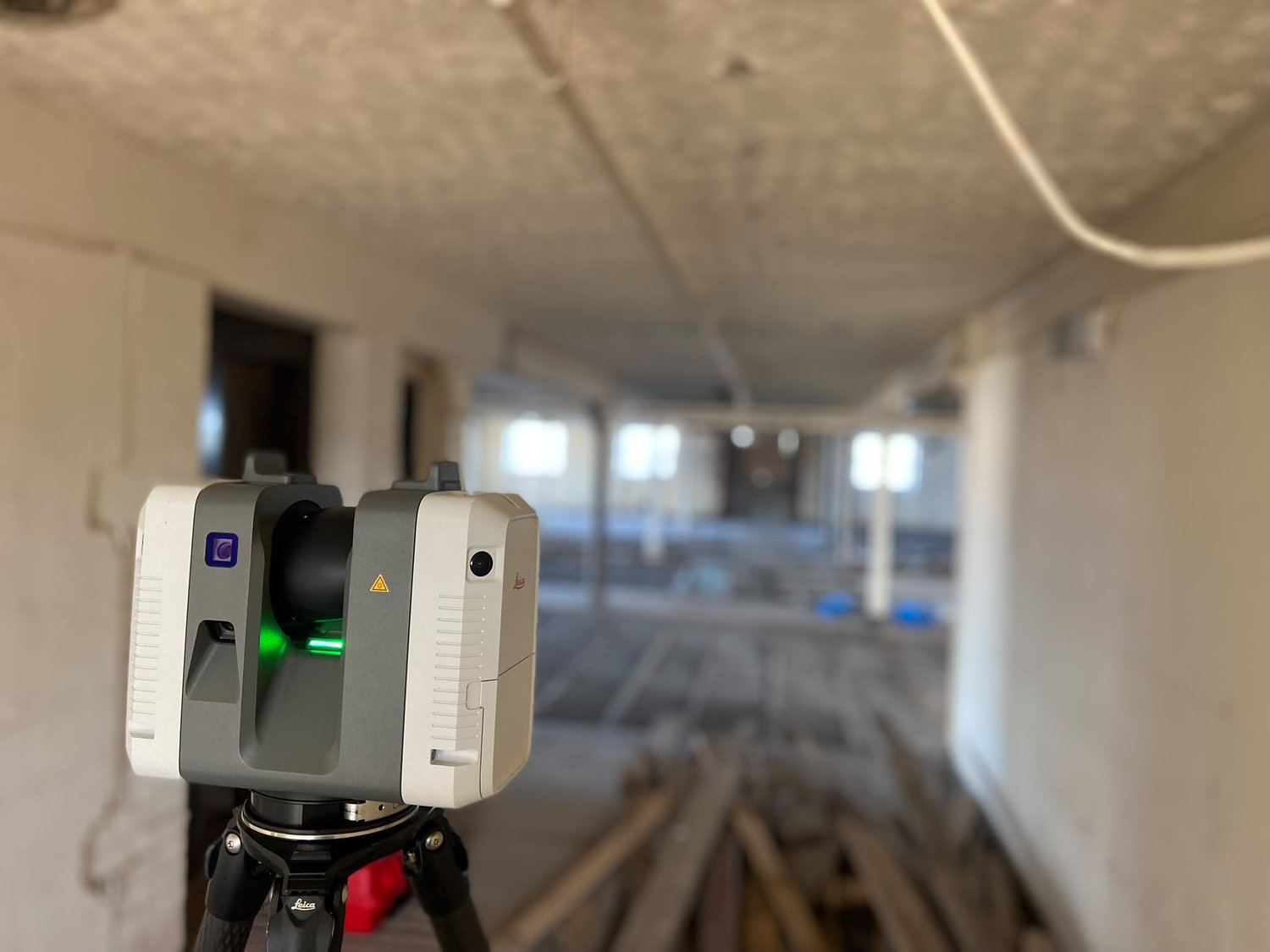
Confidence in existing conditions
A model is only as dependable as the survey behind it.
Reliable model development starts with complete, coordinated and well-controlled site information.
Survey strategy, scan coverage, visible construction, inaccessible areas and the required model purpose are considered from the outset. This helps reduce assumptions and gives the design team a clearer understanding of the building they are working with.
Where areas cannot be directly observed, limitations can be identified rather than concealed, allowing the final deliverable to be interpreted with confidence.
From survey to model
A coordinated workflow from physical building to digital information.
Project definition
Required areas, model use, outputs and level of information are agreed.
Measured survey
Building geometry and site relationships are captured using appropriate survey methods.
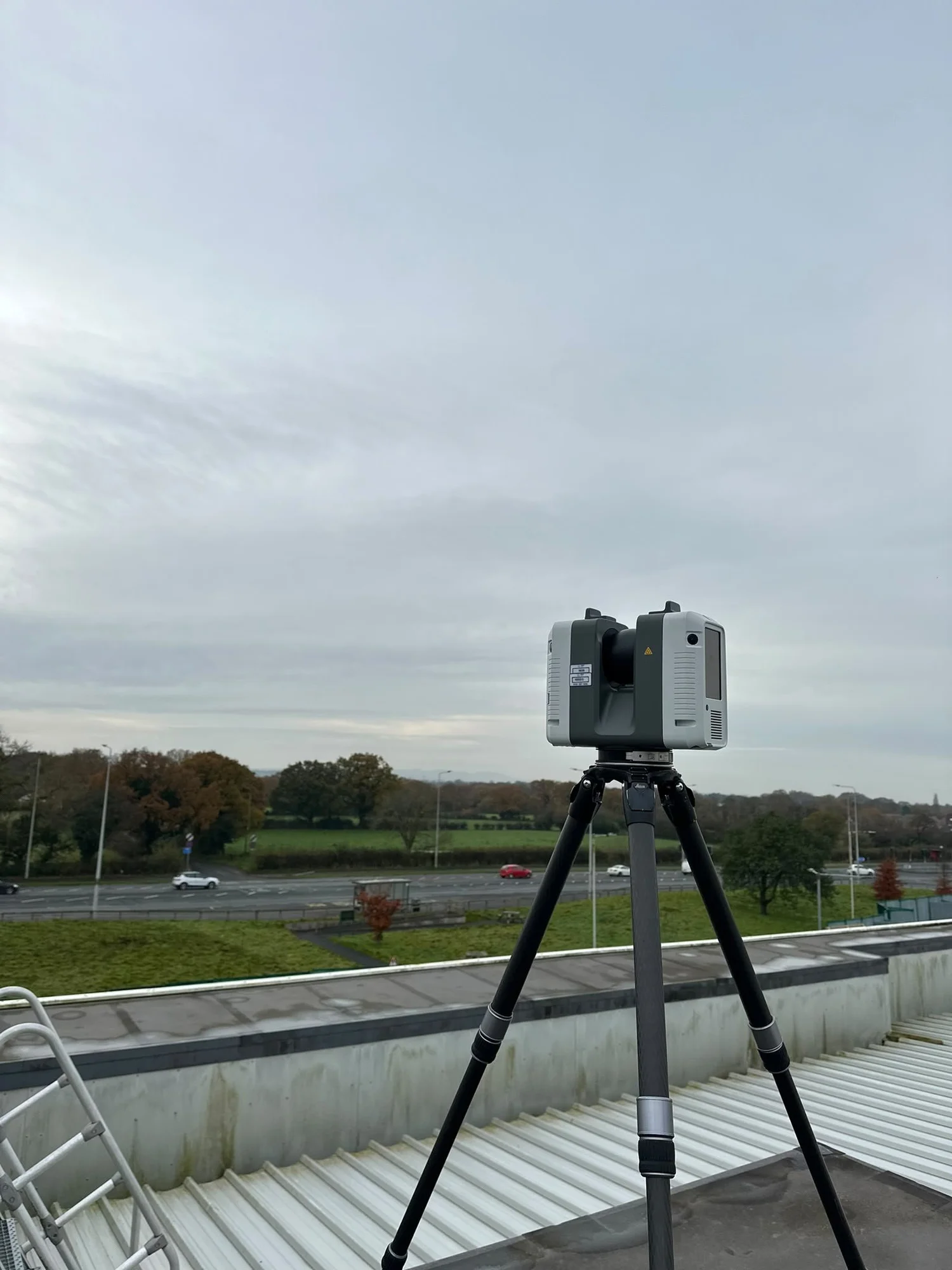
Laser scanning
Dense spatial data records visible existing conditions across internal and external areas.
Point-cloud processing
Scan data is registered, coordinated and prepared as the geometric basis for modelling.
Model development
Survey information is translated into a structured three-dimensional representation.
Quality assurance
Model geometry and agreed content are reviewed against the source survey information.
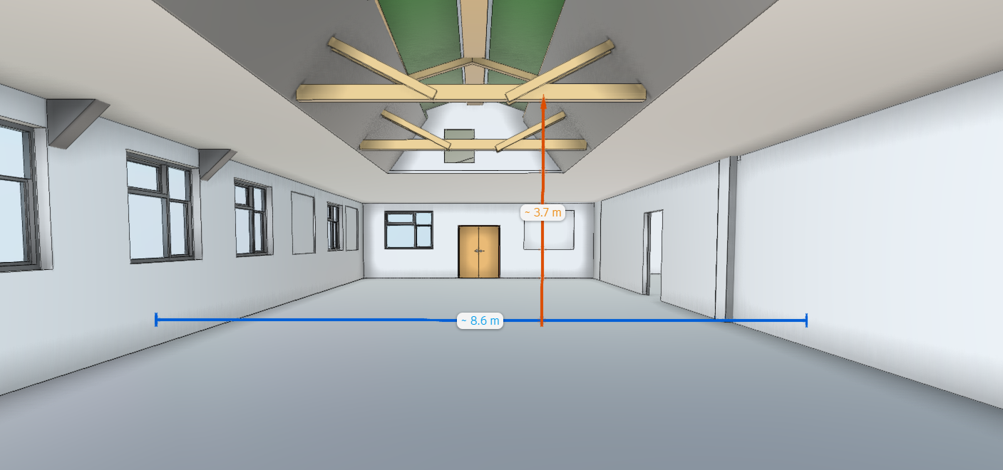
Purpose-led model development
The right level of information for the task.
A feasibility study, refurbishment design and operational asset record do not require identical model content. Defining the intended use early allows geometry, components and information to be developed to an appropriate level.
This creates a more efficient deliverable and gives project teams a clear understanding of what has been modelled, how it has been represented and where any agreed exclusions apply.
Understanding model development
LOD 100–500, explained clearly.
Level of Development is used to describe how reliably model elements are represented for a defined purpose. The precise interpretation should always be confirmed within the project specification, as terminology and requirements can vary between clients and standards.
Concept
Overall form and massing
Indicative representation used for early feasibility, context and broad spatial understanding.
Approximate
Generalised geometry
Recognisable elements represented with approximate size, shape, location and orientation.
Coordinated
Defined surveyed geometry
Elements represented with sufficient accuracy for detailed design, coordination and documentation within the agreed scope.
Detailed
Specialist construction information
Detailed assemblies or components developed where specialist coordination, manufacture or installation information is required.
Verified
Recorded asset condition
Verified information reflecting the completed or existing asset for operation, maintenance or long-term records, where included within the agreed brief.
The most useful model is the one developed to the correct purpose, tolerance and information requirement.
Model and survey deliverables
Information prepared for the way your team works.
Revit models
Structured building models developed to the agreed project scope and intended use.
Existing-condition models
Coordinated representations of visible building geometry and spatial relationships.
Registered point clouds
Dense, coordinated scan data retained as a measurable record of captured conditions.
Floor plans
Clear two-dimensional plans derived from the coordinated survey information.
Elevations and sections
Surveyed building views supporting planning, design and technical documentation.
CAD information
Practical drawing outputs prepared to complement the three-dimensional model.
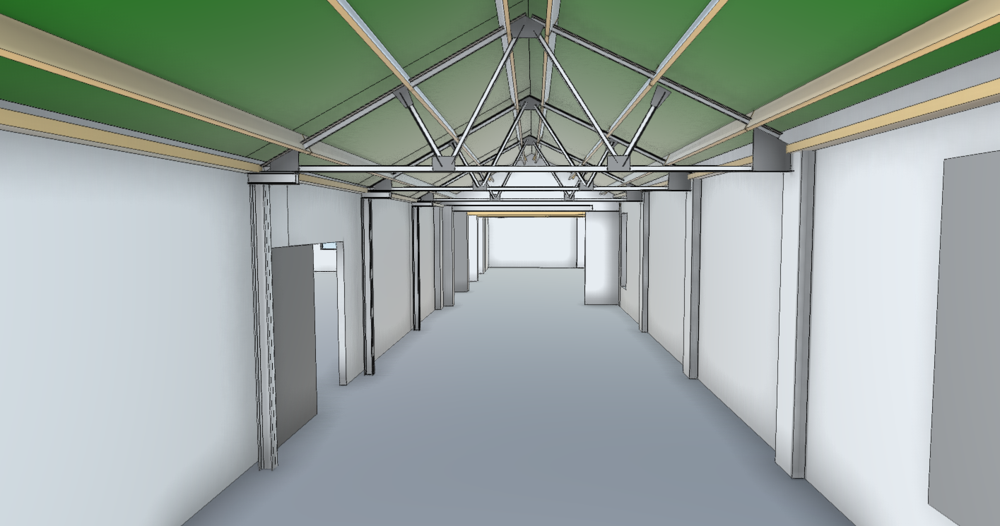
Where digital models add value
Understand the building before designing around it.
Accurate existing-condition information can reduce uncertainty, improve communication and help design teams identify constraints earlier.
Refurbishment and retrofit
Extensions and redevelopment
Architectural design
Heritage and complex buildings
Commercial property
Industrial facilities
Education and public buildings
Asset records and facilities planning
Why use a coordinated 3D model?
A clearer basis for design and decision-making.
Design confidence
Work from a coordinated representation of visible existing conditions.
Better coordination
Help disciplines understand geometry and spatial relationships within one environment.
Reduced revisits
Retain measurable survey information that can be reviewed after the site visit.
Earlier understanding
Identify constraints and complex interfaces before work progresses too far.
Clear communication
Make complex existing buildings easier for wider project teams to interpret.
Useful digital record
Create information that can support future design, management and verification.
Frequently asked questions
3D modelling and BIM questions, answered.
Share your building information requirements, required areas and intended use, and we can help define an appropriate survey and model scope.
Can you produce Revit models from laser scan data?+
Yes. Registered point-cloud data can be developed into a Revit model based on the agreed areas, model content, tolerance and intended use.
What Level of Development do I need?+
This depends on how the model will be used. Early feasibility may require simple geometry, while detailed coordination may require more accurately defined elements. The required content should be agreed before survey and modelling begin.
Does a higher LOD always mean a more accurate survey?+
No. Model development, survey accuracy and geometric tolerance are related but separate requirements. Each should be clearly specified for the intended use.
Can you provide drawings as well as the model?+
Yes. Floor plans, elevations, sections and CAD information can be prepared alongside the model where required.
Can you model hidden or inaccessible construction?+
Only information that can be observed or supported by reliable project information should be represented with confidence. Inaccessible or assumed elements should be identified and agreed within the model scope.
Can existing models be updated following construction?+
Yes, subject to the required survey, available source information and agreed update scope. Additional capture can be used to record completed or altered conditions.
Measured accurately. Modelled with purpose.