
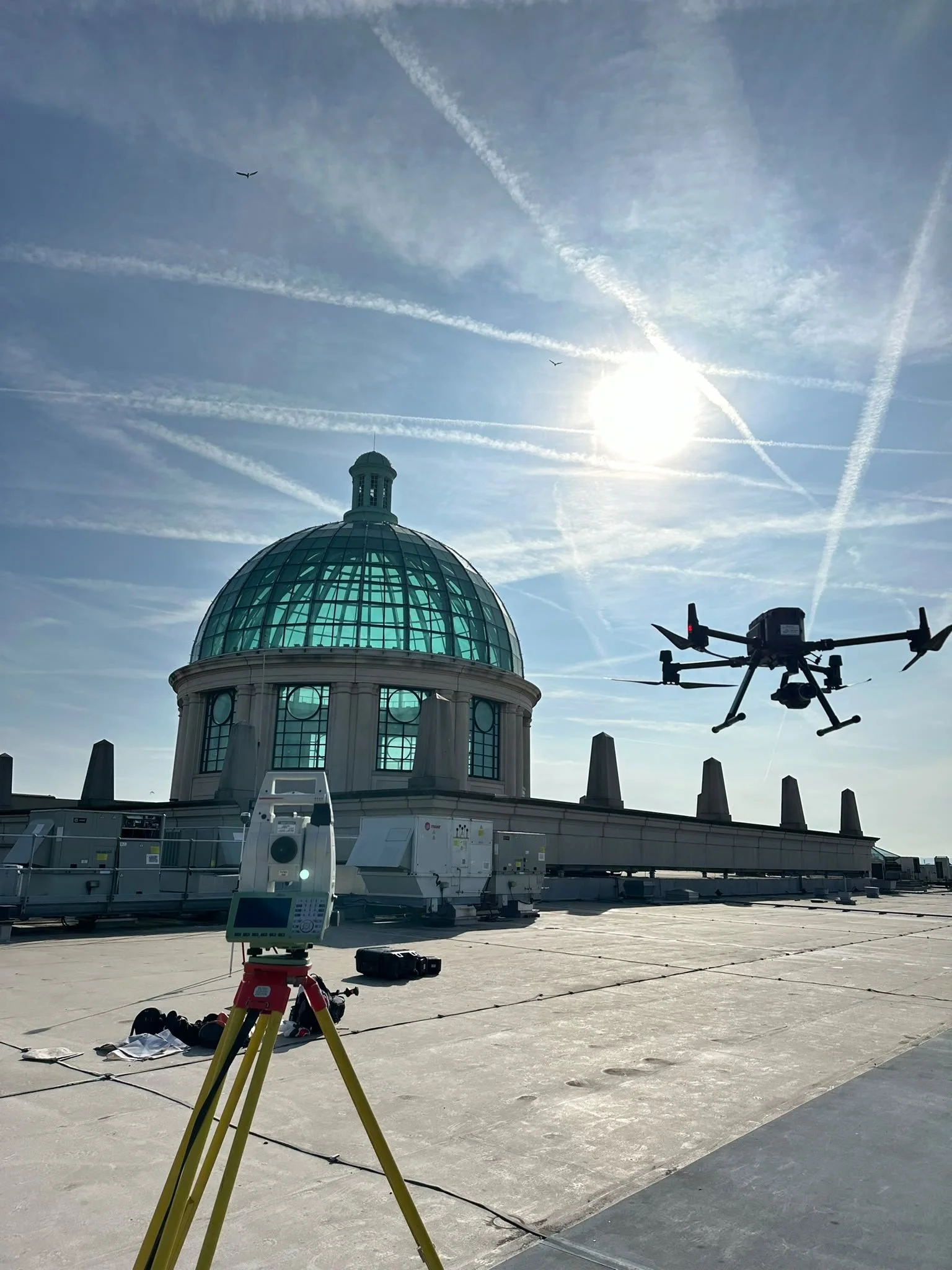
Measured Building Surveys
A complete record of the building you already have.
Accurate floor plans, elevations, sections and 3D survey data for refurbishment, design, planning and property projects across the North of England.
Floor plans / Elevations / Sections / Point clouds / 3D models
Understanding existing buildings
Accurate information for confident design decisions.
A measured building survey provides a precise record of an existing structure, giving architects, engineers, developers and property professionals reliable information before design or refurbishment begins.
We capture the geometry and arrangement of the building, including walls, openings, levels, structural elements, stairs, roof forms and internal spaces.
Deliverables are tailored to the project and can range from straightforward floor plans to detailed elevations, sections, point clouds and coordinated 3D models.
Capture once. Design with confidence.
What we can provide
Survey information built around the project brief.
Floor plans
Room layouts, wall thicknesses, openings, stairs, columns and key internal features.
Elevations
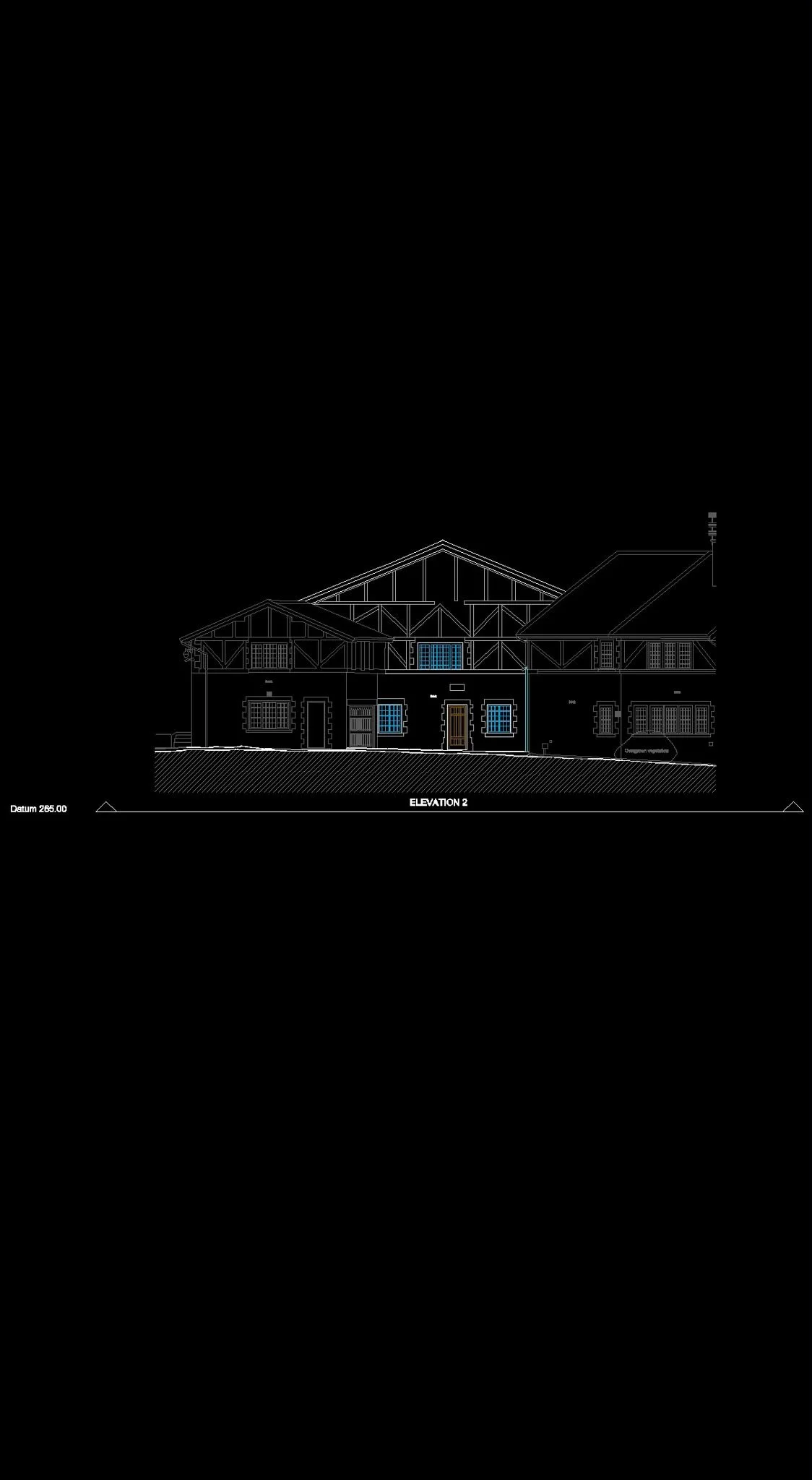
External or internal elevations showing openings, levels, roof lines and architectural detail.
Sections
Building sections showing floor levels, ceiling heights, roof geometry and vertical relationships.
Roof plans
Roof slopes, ridges, valleys, parapets, plant and visible drainage features.
Structural detail
Visible columns, beams, openings and other elements required for design coordination.
Levels
Floor levels, thresholds, steps, soffits, ceiling heights and datum relationships.
Point clouds
Registered scan data for detailed review, coordination and future modelling.
3D models
Coordinated building models where the project requires a three-dimensional deliverable.
From scan to drawing
One coordinated survey. Multiple useful outputs.
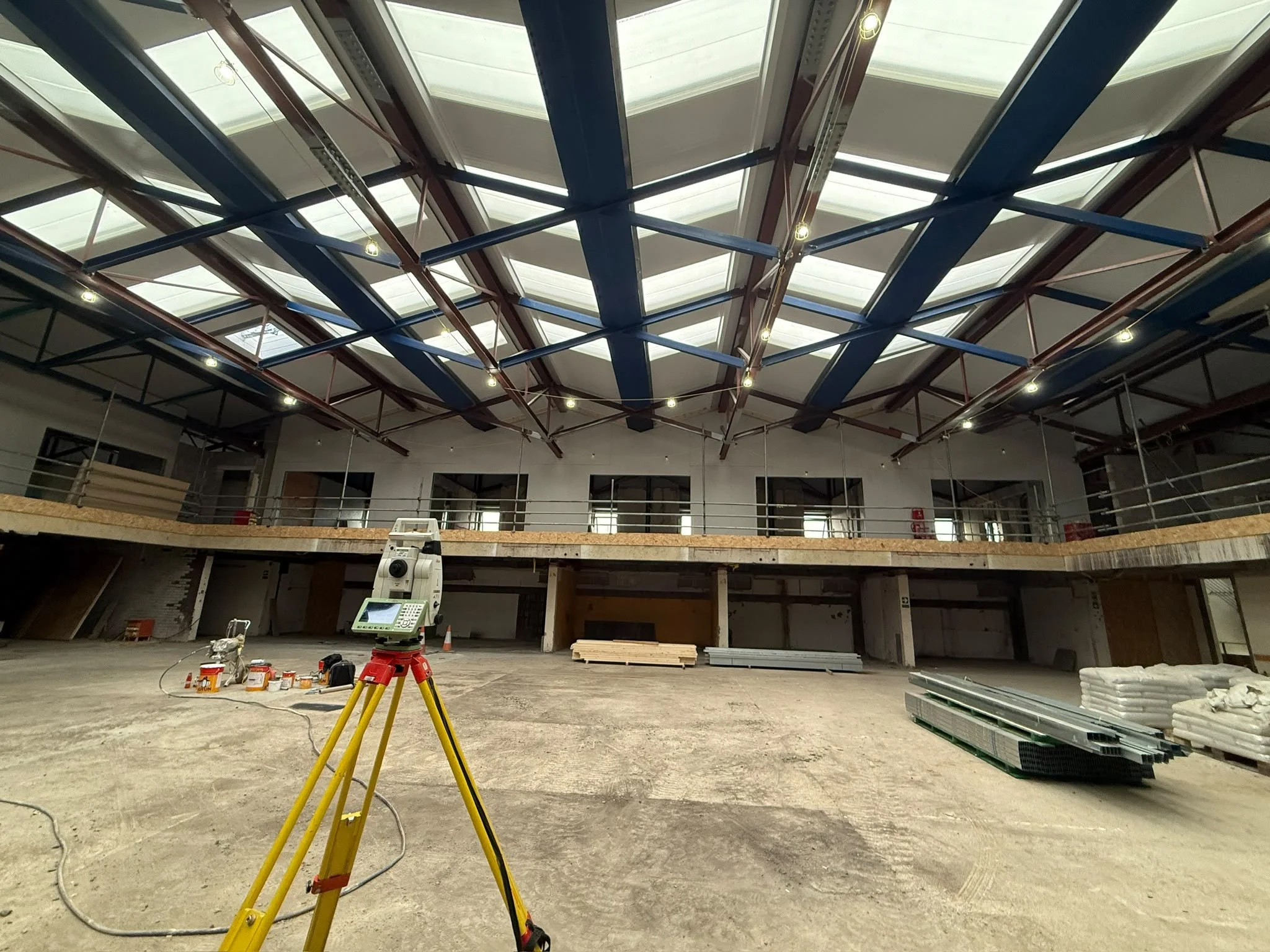
Laser scanning allows us to capture complex buildings efficiently and create a detailed three-dimensional record of the existing structure.
That single coordinated dataset can then support floor plans, elevations, sections, point cloud delivery and 3D modelling, helping reduce repeat site visits and uncertainty during design.
Discuss your building ↗Deliverables
Clear drawings and data your design team can use.
The level of detail and format are agreed before the survey begins, ensuring the final deliverables match the needs of the project.
Layered CAD floor plans, elevations and sections.
Issue drawings for straightforward review and sharing.
Registered point clouds for ReCap and compatible software.
Open-format point cloud delivery for wider compatibility.
Revit models where BIM deliverables are required.
Three-dimensional geometry for design coordination.
Targeted sections through important parts of the building.
External and internal elevations to the agreed specification.
How we survey
The right method for the building.
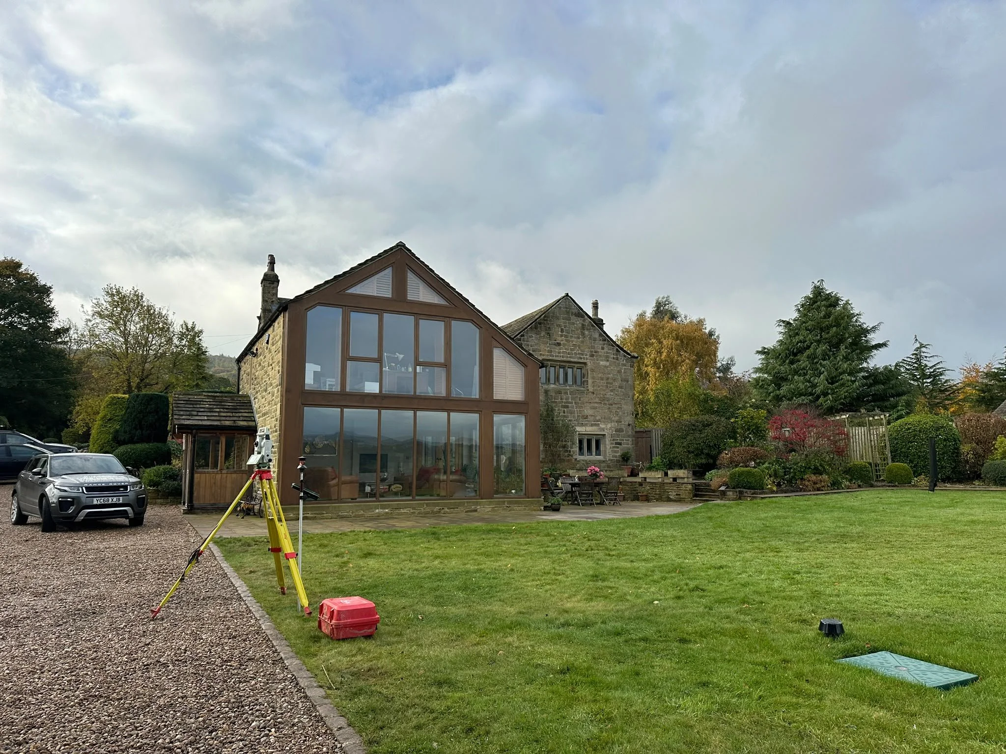
We use laser scanning, total stations and direct measurement as appropriate, selecting the method around the complexity of the building, access, accuracy requirements and intended deliverables.
Complex interiors and large structures can be captured as a coordinated point cloud, while simpler buildings may be surveyed using a more conventional approach.
Why Brookes Geospatial
Accurate capture without overcomplicating the process.
Clear scope
We agree exactly what is required before attending site.
Efficient capture
Survey methods are selected to suit the scale and complexity of the building.
Coordinated data
Plans, elevations and sections are created from one consistent survey dataset.
Useful deliverables
Information is structured for architects, engineers and design teams.
Occupied buildings
We work practically around active workplaces, commercial premises and occupied properties.
Ongoing support
We remain available to clarify survey information after delivery.
Frequently asked questions
Measured building survey questions, answered.
Send us the building address, available plans and required outputs, and we can advise on the most suitable survey approach.
What is a measured building survey?+
A measured building survey records the dimensions, layout and geometry of an existing building. It can be used to produce floor plans, elevations, sections, point clouds and 3D models.
What is normally included?+
The survey can include walls, openings, room layouts, levels, stairs, columns, roof geometry, elevations, structural features and other detail agreed within the brief.
How much does a measured building survey cost?+
Cost depends on the building size, complexity, access, required level of detail and final deliverables. Existing drawings and a clear brief help us provide an accurate quotation.
Do you use laser scanning?+
Yes. Laser scanning is particularly useful for complex buildings, large interiors and projects requiring point clouds, detailed elevations or coordinated 3D information.
Can you provide floor plans only?+
Yes. The survey can be limited to floor plans or expanded to include elevations, sections, roof plans, point clouds and models depending on the project.
Can you survey an occupied building?+
Yes. We regularly work in occupied commercial and residential buildings and plan the survey to minimise disruption to occupants and operations.
Can you provide Revit models?+
Revit and other 3D modelling deliverables can be provided where required. The required level of detail and modelling scope should be agreed before the survey begins.
How accurate is the survey?+
The survey method and expected accuracy are selected according to the building, project purpose and agreed specification. Higher-detail requirements should be identified at quotation stage.
How long does the survey take?+
Fieldwork can range from a few hours for a simple property to several days for a large or complex building. Drawing and modelling time depends on the required outputs.
What information do you need for a quotation?+
Useful information includes the building address, approximate size, number of floors, access restrictions, required drawings or models, preferred file formats and programme.
Discuss your building