Land surveying · Site engineering · Digital construction
The information behind better construction.
Accurate surveying and construction information for teams that cannot afford uncertainty.
Every successful project begins with confidence. Confidence in the design. Confidence in the levels. Confidence that the next trade can keep moving. That is what accurate surveying creates.
What we do
From existing conditions to construction-ready information.
01
Topographical Surveys
Understand the site before design begins. Levels, boundaries, structures and visible features captured in a clear, coordinated survey.
Explore service02
Construction Setting Out
Turn design information into accurate physical positions on site—from foundations and drainage to gridlines, steelwork and final checks.
Explore service03
Measured Building Surveys
Capture existing buildings without assumptions. Floor plans, elevations, sections and point-cloud information for refurbishment and design.
Explore service04
Underground Utility Surveys
Detect and map underground services to support safer planning, coordinated design and informed excavation.
Explore service05
Monitoring Surveys
Repeat observations and impartial reporting that create a clear record of movement across structures, assets and surrounding features.
Explore service06
Digital Modelling
Point clouds, terrain models, BIM information and machine-control data produced from coordinated survey information.
Explore serviceWhat we really deliver
We care about the next trade.
The groundworker should not have to question the setting out. The engineer should not have to question the levels. The architect should not have to question the survey. Confidence is what we are really delivering.
Featured project · Roman Way, Preston
When scale matters, control matters more.
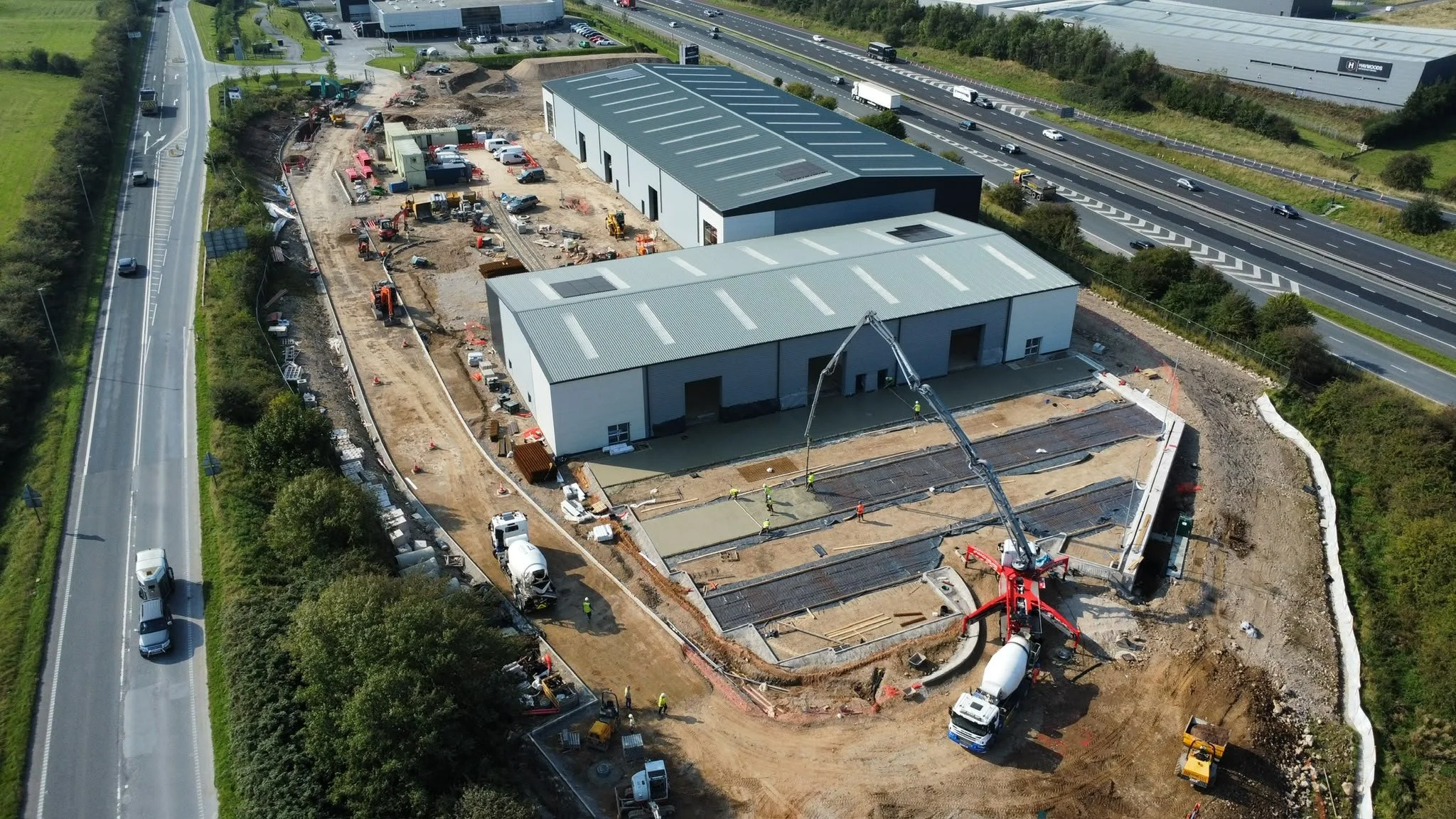
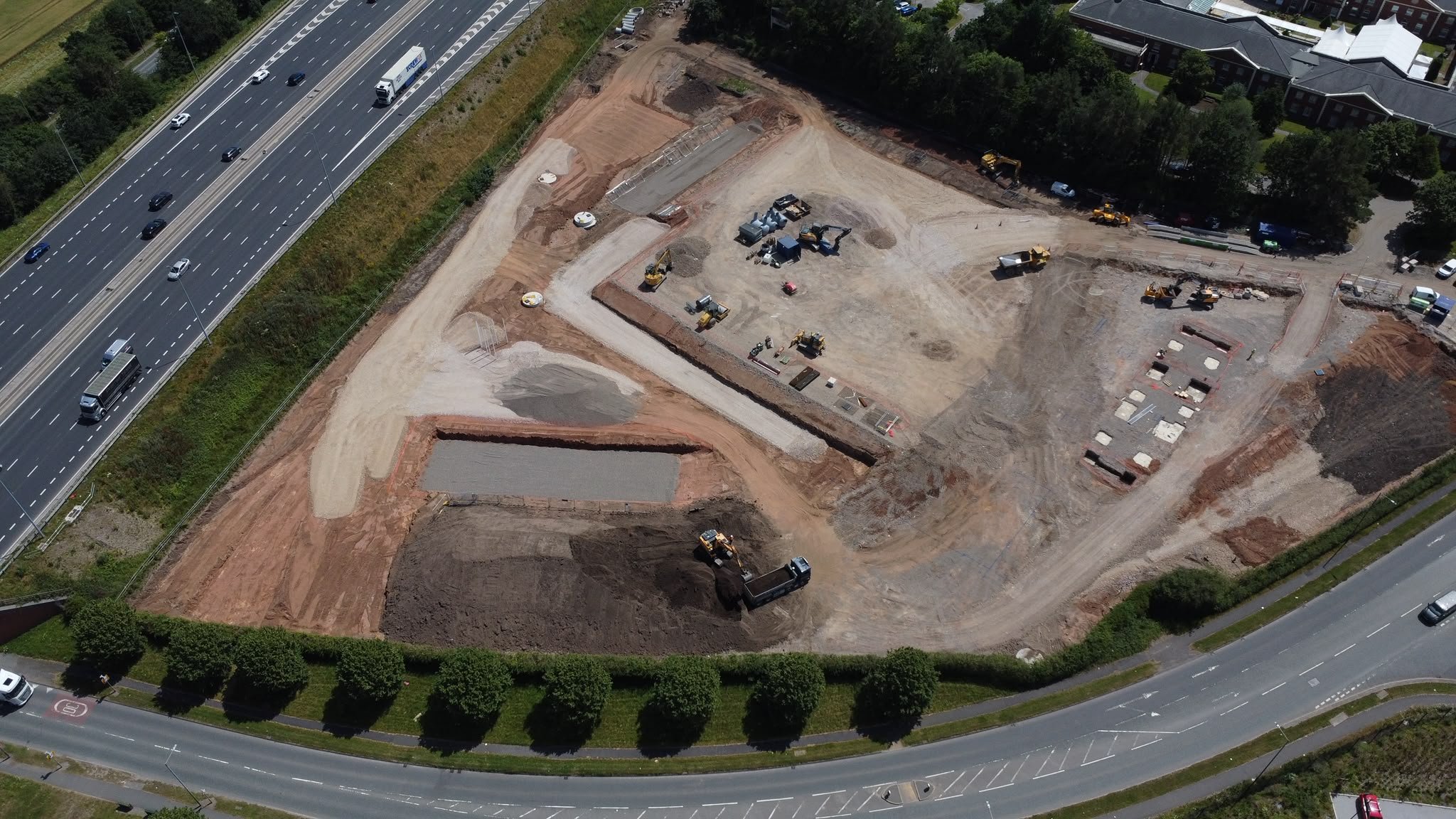
A large-scale topographical, as-built and volumetric survey delivered across an active development site—one coordinated dataset for engineering and construction teams.
How we work
A controlled process from brief to delivery.
01
Understand
We review the objective, specification and required deliverables before attending site.
02
Capture
The right survey method is selected to collect dependable field information.
03
Process
Observations are calculated and converted into clear, usable project data.
04
Verify
Control, measurements and outputs are checked before anything is issued.
05
Deliver
Drawings, models, reports or site information arrive in the agreed format.
Built on reputation
Our name is attached to every project.
Brookes Geospatial was built around a straightforward principle: the standard of the work matters. Every drawing, control point and setting-out mark represents us.
“We want to be the surveying team people trust to get it right—and to help the project keep moving.”
James Brookes · Founder
Ready when you are.
Planning a development, coordinating design or preparing to break ground? Send us the project information and we will provide a clear, project-specific quotation.
Discuss your project