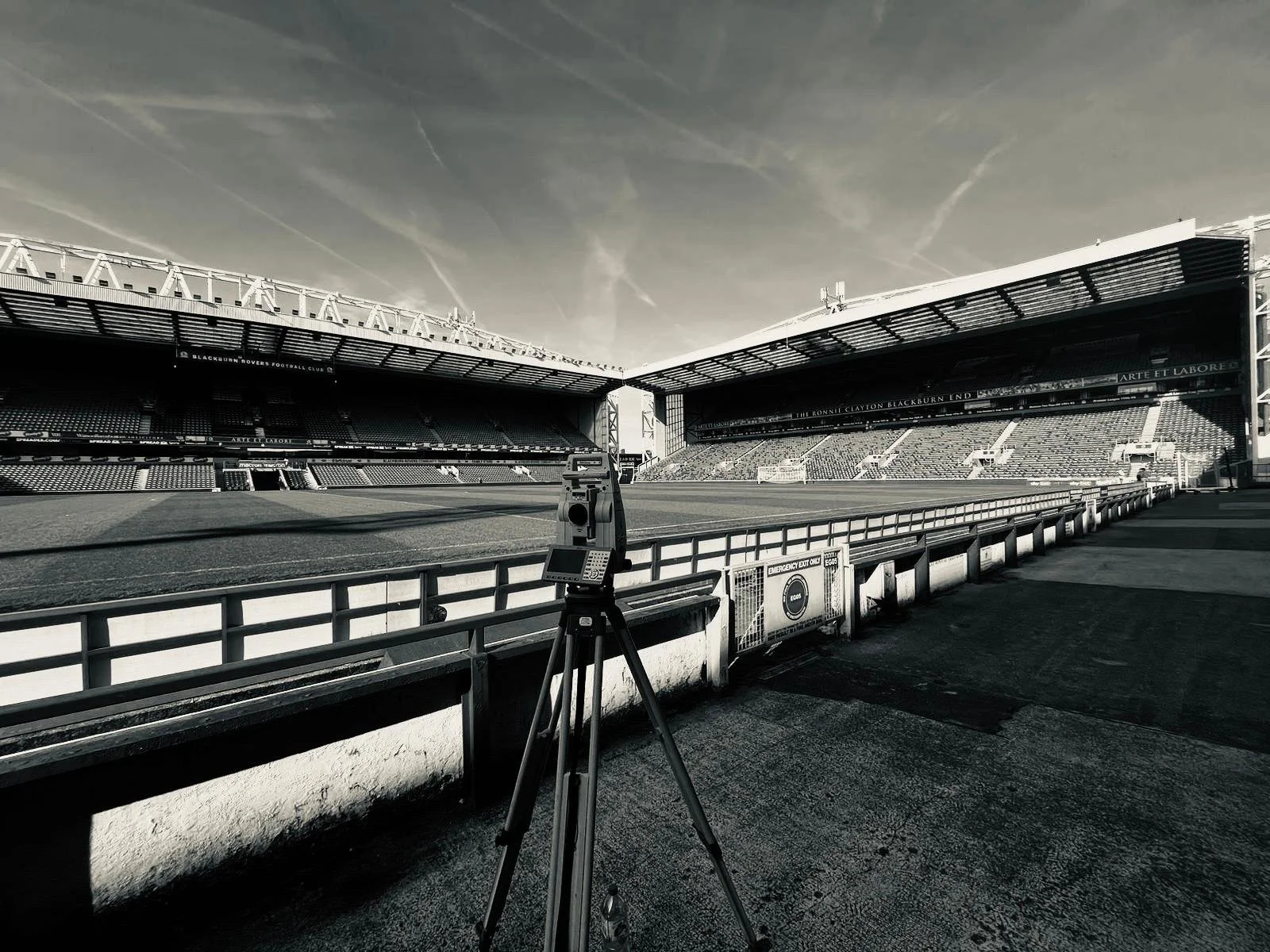

Project / Sports / Topographical + PAS 128
Ewood Park.
A coordinated topographical and PAS 128 utility survey for STRI Group, supporting a proposed pitch redesign at Ewood Park, home of Blackburn Rovers FC.
Explore the project ↓The brief
One survey package.
Ready for design.
STRI Group appointed Brookes Geospatial to deliver a combined topographical and PAS 128 utility survey at Ewood Park, home of Blackburn Rovers Football Club.
The survey was required to support a proposed pitch redesign. The brief was to create one coordinated base containing existing levels, surface features and buried utility information, ready for the design team to use.
Topographical fieldwork was completed on day one. Utility investigations then continued while the topo data was processed in the office, allowing both workstreams to progress in parallel.
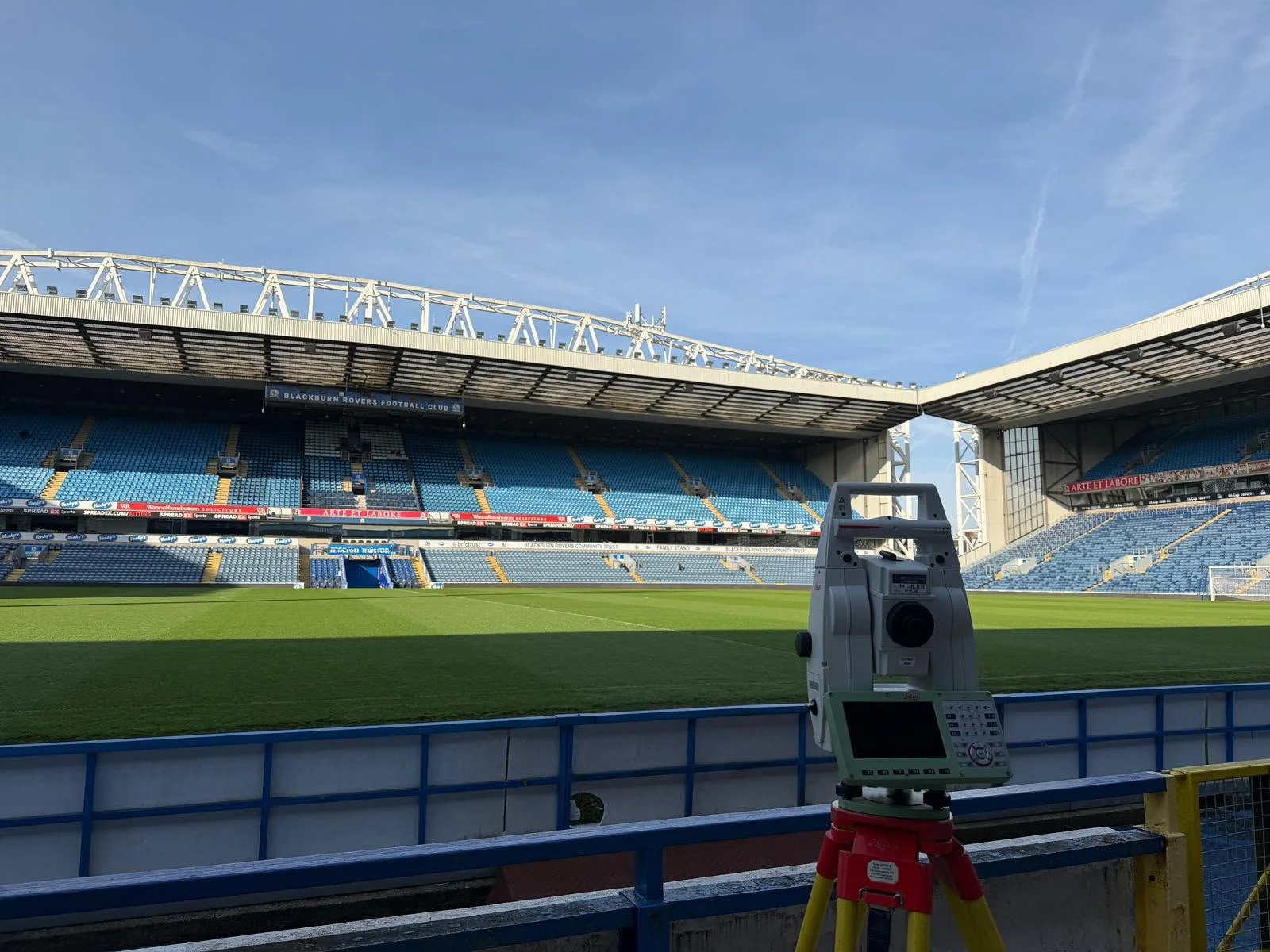
Ewood Park — coordinated topographical and utility survey
The challenge
Multiple disciplines.
One coordinate framework.
Topographical surveying, utility detection and GPR processing all had to resolve into the same coordinated dataset.
After fieldwork, the GPR results were post-processed and integrated with the topographical survey. Survey control, surface features and buried services therefore had to align accurately in the same project coordinate system.
Coordinating the workflows in parallel reduced hand-offs and helped keep the overall programme to seven days from first day on site to final issue.
How we delivered
One coordinated workflow, from field capture to final issue.
Swipe through the workflow →
Topographical survey
Levels, pitch features, structures, visible utilities and surrounding infrastructure were captured and coordinated on day one.
PAS 128 utility survey
The PAS 128 utility investigation progressed against the same project control while the topographical data was processed.
GPR processing
GPR data was post-processed and reviewed alongside the wider survey and detected utility information.
Combined dataset
Topographical and buried utility information was combined into one clear drawing and coordinate framework.
3D surface
A 3D surface was prepared for direct import into Civil 3D, reducing setup time for the design team.
Final issue
Coordinated drawings, surface data and supporting information were issued within seven days of commencement.
Swipe the survey drawings →


The outcome
One coordinated dataset.
Ready for design.
STRI Group received one coordinated survey package rather than separate, disconnected outputs.
The final issue combined 2D and 3D topographical information, PAS 128 utility data and a Civil 3D-ready surface model, giving the design team a single reliable base for the pitch redesign.
Three days of site work and parallel processing enabled the full package to be delivered within seven days while maintaining continuity between the survey, utility and model outputs.
Client feedback
“Again, thanks for your help with the Blackburn project. It’s been a great success so far, built on a solid survey carried out by yourselves.”
Services delivered
Deliverables built around the design workflow.
The outputs were prepared as one coordinated package, with each deliverable selected around how STRI Group needed to use the information in design.
Coordinated plan information showing levels, surface features, structures and visible site infrastructure.
Three-dimensional survey information to support terrain understanding and downstream model coordination.
Detected and classified buried utility information issued within the same project coordinate framework.
Post-processed GPR results reviewed, interpreted and incorporated into the final coordinated dataset.
One consolidated base drawing bringing together surface survey information and buried services.
A surface model prepared for direct use within the design workflow, including Civil 3D environments.
Data structured to reduce design-team setup time and allow a smooth transition into modelling software.
Supplementary site photography issued alongside the survey outputs to aid interpretation and review.
Planning something similar?