
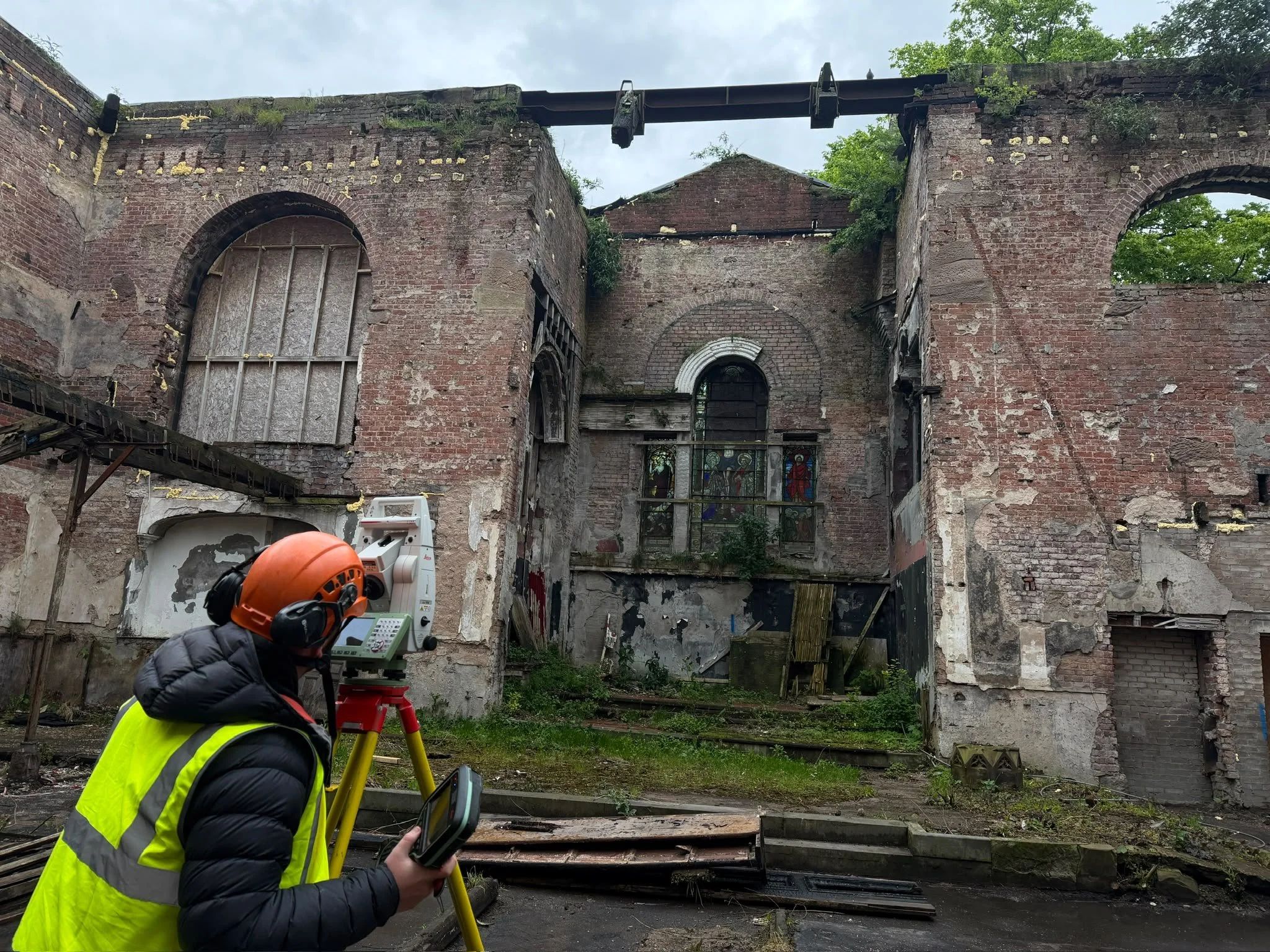
Topographic Surveys Greater Manchester
Accurate topographic surveys for Greater Manchester's built environment.
Professional survey information for city-centre developments, commercial sites, industrial estates and infrastructure projects across Greater Manchester.
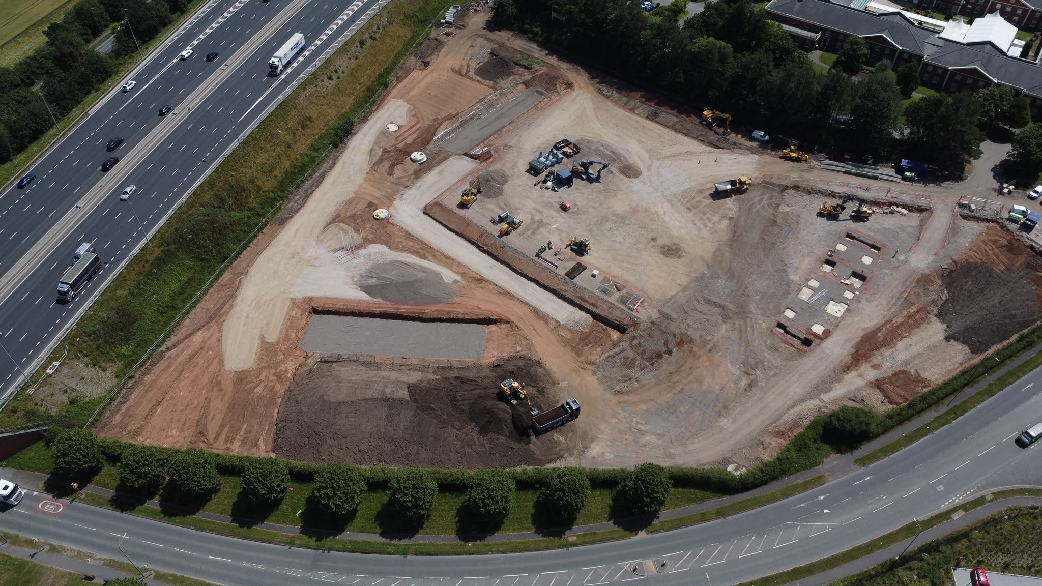
Across Greater Manchester’s cities, towns and rural landscapes, good design begins with a clear understanding of the existing site.
Surveying Greater Manchester
Urban surveying that keeps projects moving.
We support architects, engineers, developers and contractors throughout Greater Manchester with accurate topographic surveys tailored to busy urban environments.
From constrained city-centre sites to large regeneration schemes and industrial developments, every survey is planned around the decisions your team needs to make.
Our combination of robotic total stations, GNSS and laser scanning delivers dependable data with minimal disruption to active sites.
What we capture
The detail your design team needs — captured clearly.
Buildings
Footprints, entrances, thresholds, overhangs and key structural details.
Boundaries
Walls, fences, hedges, gates and visible ownership features.
Levels
Spot levels, breaklines, slopes, embankments and contours.
Drainage
Visible chambers, gullies, channels, covers and invert data where accessible.
Trees
Tree positions, canopy spreads, trunk diameters and vegetation limits where required.
Roads
Kerbs, carriageways, footways, hardstanding and changes in surface material.
Utilities
Visible utility furniture and service features, with PAS128 options available.
Site features
Street furniture, signage, retaining walls, water features and other relevant details.
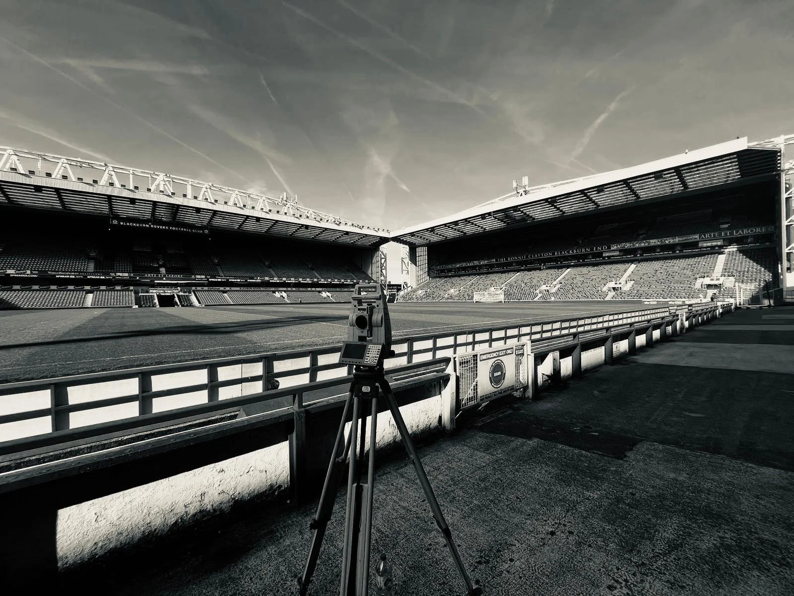
Built for complex urban projects
Surveying where construction never stops.
We regularly work on live construction sites across Greater Manchester, coordinating with site teams and working safely around traffic, neighbouring properties and ongoing operations.
Our deliverables are prepared for architects, engineers and contractors who need accurate survey information without delays or unnecessary revisions.
View our project experience ↗What you’ll receive
Clear survey information, ready for your design team.
Outputs are agreed before fieldwork begins and prepared around the way your team will use them — whether for planning, design coordination, engineering analysis or construction.
Layered 2D and 3D CAD drawings.
Clear issue drawings for review and sharing.
Three-dimensional survey models and breaklines.
Point data for engineering and design software.
Digital terrain models and triangulated surfaces.
Surface data for civil engineering workflows.
Contour plans at suitable project intervals.
Georeferenced scan data where laser scanning is used.
Choosing the right method
The technology follows the project — not the other way around.
We select the most appropriate combination of robotic total stations, GNSS, laser scanning and drone survey methods for the site, the programme, the required accuracy and the final deliverables.
The result is an efficient field survey, a rigorous office workflow and data that is straightforward for the project team to use.
Why choose us in Greater Manchester
Fast mobilisation, dependable delivery and survey data ready to use.
A scope built around your project
We define the survey around the decisions your team needs to make — not a generic checklist.
Reliable accuracy
Professional survey methods, robust control and careful checking give you information you can rely on.
Information that is ready to use
Drawings and datasets are structured clearly, checked carefully and prepared for immediate use.
Communication without chasing
You know what is happening before, during and after the survey — without having to chase for updates.
Practical on active sites
We coordinate with site teams, adapt to changing conditions and minimise disruption to ongoing work.
Capacity when your programme needs it
Supporting projects throughout Greater Manchester, with wider North of England and UK coverage available where required.
Areas we cover
Topographic surveys across Greater Manchester.
We regularly support construction, commercial and infrastructure projects across every Greater Manchester borough.
View our main topographic survey service ↗Manchester
City centre developments, commercial sites and regeneration projects.
Salford & Trafford
MediaCity, Trafford Park, logistics and mixed-use developments.
Stockport & Tameside
Residential, highways and infrastructure schemes.
Bolton & Bury
Industrial estates, schools and commercial developments.
Oldham & Rochdale
Brownfield sites, housing and engineering projects.
Wigan & Surrounding Areas
Development land, utilities and wider infrastructure projects.
A straightforward process
From project brief to usable survey data.
Clear scoping at the beginning means fewer assumptions, better fieldwork and deliverables that arrive ready for the next stage.
Brief
We review the site boundary, intended use, required detail, accuracy and delivery formats.
Survey
Fieldwork is completed using the most appropriate methods for the site and programme.
Process
Observations are coordinated, reduced and converted into a clear site dataset.
Check
Drawings, levels, surfaces and key features are reviewed before issue.
Deliver
Your team receives the agreed CAD, PDF and model outputs, ready to use.
Frequently asked questions
Topographic surveys in Greater Manchester — common questions answered.
Send us the Greater Manchester site location, survey boundary and intended use and we'll recommend the right survey scope.
Which parts of Greater Manchester do you cover?+
We cover all ten Greater Manchester boroughs, including Manchester, Salford, Trafford, Stockport, Bolton, Bury, Oldham, Rochdale, Tameside and Wigan.
What is a topographic survey?+
A topographic survey records the position and level of natural and man-made features across a site. It is commonly used for planning, architectural design, civil engineering and construction.
What information is included?+
The scope can include buildings, boundaries, levels, contours, drainage, roads, kerbs, trees, visible utilities, street furniture and other relevant site features. The final content is agreed before fieldwork begins.
How much does a topographic survey cost?+
Cost depends on the site area, density of detail, access, vegetation, required accuracy, coordinate system and deliverables. Providing a site boundary and brief allows us to prepare an accurate quotation.
How long does a survey take?+
Smaller sites may require one day of fieldwork, while larger or more complex sites can take several days. Processing and drawing time also depends on the level of detail and required outputs.
Do I need a topographic survey for planning?+
Many planning and design projects require an accurate existing-site plan. Your architect, planning consultant or engineer can confirm the exact information needed for the application and design process.
Can you work to OS coordinates and levels?+
Yes. Surveys can be related to OSGB36 coordinates and Ordnance Datum Newlyn levels, or completed on an agreed local grid and datum where that is more suitable.
Can you survey large development sites?+
Yes. We undertake surveys ranging from small plots to major development and infrastructure sites, selecting the most efficient combination of survey methods for the scale of the project.
Can the survey include underground utilities?+
A standard topographic survey records visible utility features. Utility detection and PAS128 survey services can be added where buried service information is required.
What formats can you provide?+
Common deliverables include DWG, PDF, XYZ, LandXML, digital terrain models, contours and 3D survey data. Other formats can be discussed at quotation stage.
Can you work on a live construction site?+
Yes. We regularly work around active construction operations and coordinate with site teams to complete surveys safely while minimising disruption.
Start with the right information
Let’s discuss your project.
From a city-centre site to rural land or a major development, we’ll recommend the right survey scope and provide a clear quotation.
Request a quotation