
Topographical Surveys · North East England
Accurate site surveys across the North East.
Professional topographical surveys for planning, design and construction across Newcastle, Durham, Sunderland, Northumberland, Darlington and Teesside.
DWG / PDF / Levels / DTM / LandXML / 3D data
Land surveyors covering the North East
Survey data your project team can actually use.
Brookes Geospatial provides professional topographical and land surveying across North East England, from individual development plots to major commercial, industrial and infrastructure sites.
We support architects, civil engineers, developers, contractors and property teams across Newcastle upon Tyne, Gateshead, Northumberland, County Durham, Sunderland, Darlington, Middlesbrough, Stockton-on-Tees and the wider Tees Valley.
Each survey is scoped around what happens next — planning, detailed design, drainage, earthworks or construction — then checked before delivery in practical CAD, PDF and 3D formats.
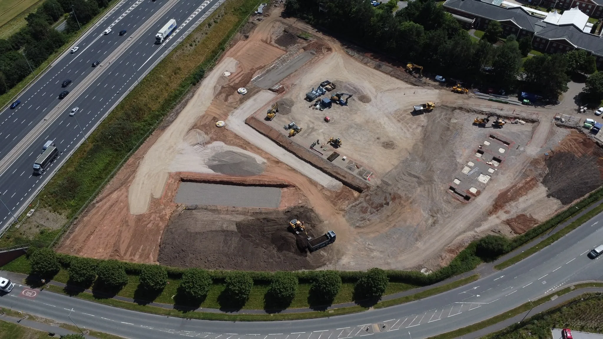
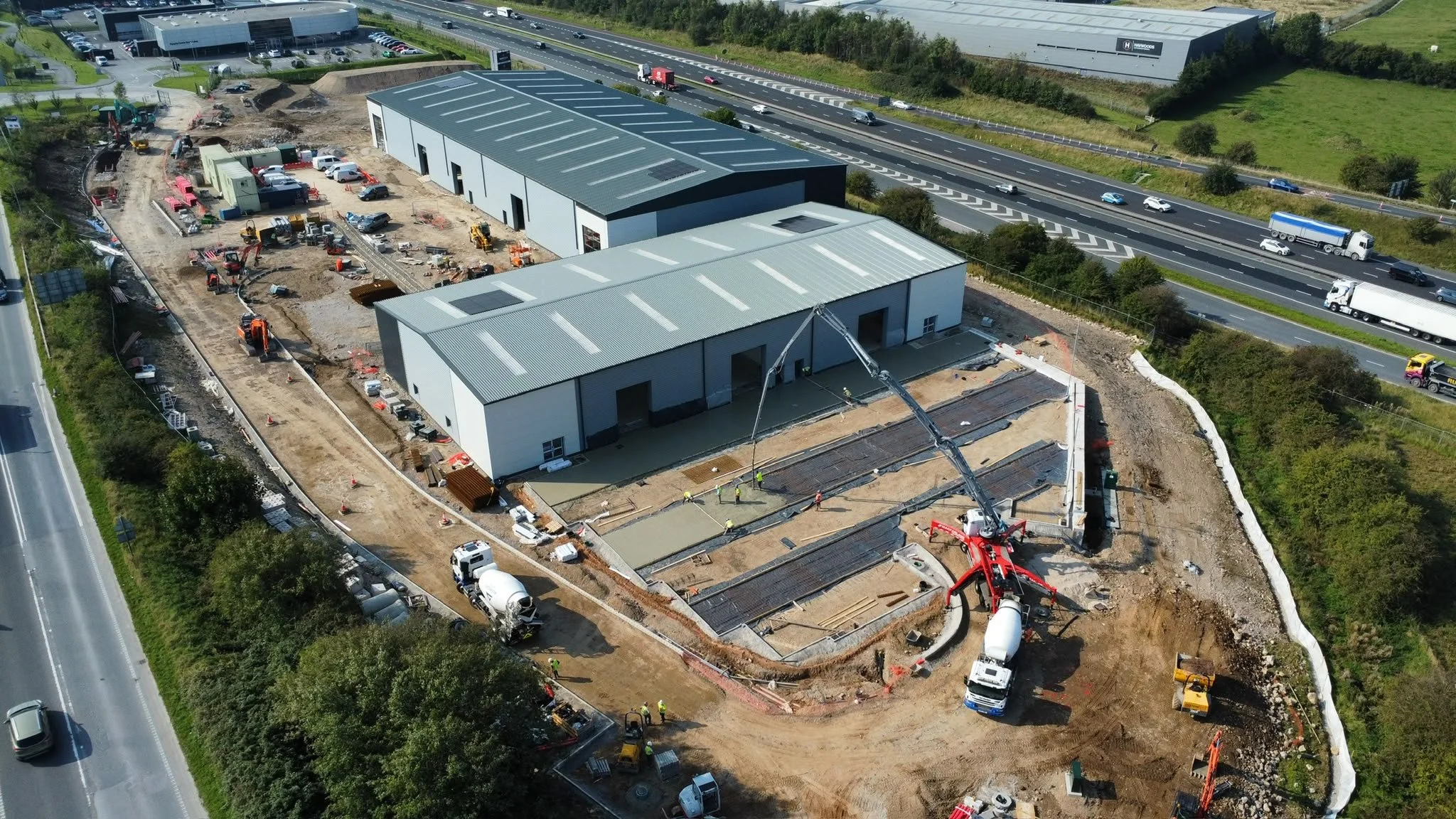
Clear survey information for projects across the North East — from Newcastle and Durham to Northumberland, Sunderland and Teesside.
What we can capture
The detail your design team needs — captured clearly.
Levels
Spot levels, breaklines, slopes, embankments and contours.
Buildings
Footprints, entrances, thresholds, overhangs and relevant structures.
Roads & access
Kerbs, carriageways, footways, hardstanding and access points.
Drainage
Visible chambers, gullies, channels, covers and accessible invert information where required.
Boundaries
Walls, fences, hedges, gates and other visible physical boundary features.
Trees & vegetation
Tree positions, canopy extents, hedges and vegetation limits where required.
Visible utilities
Covers, chambers, cabinets, hydrants, poles and other visible service features.
Site context
Adjacent features and surrounding detail where relevant to planning, design or construction.
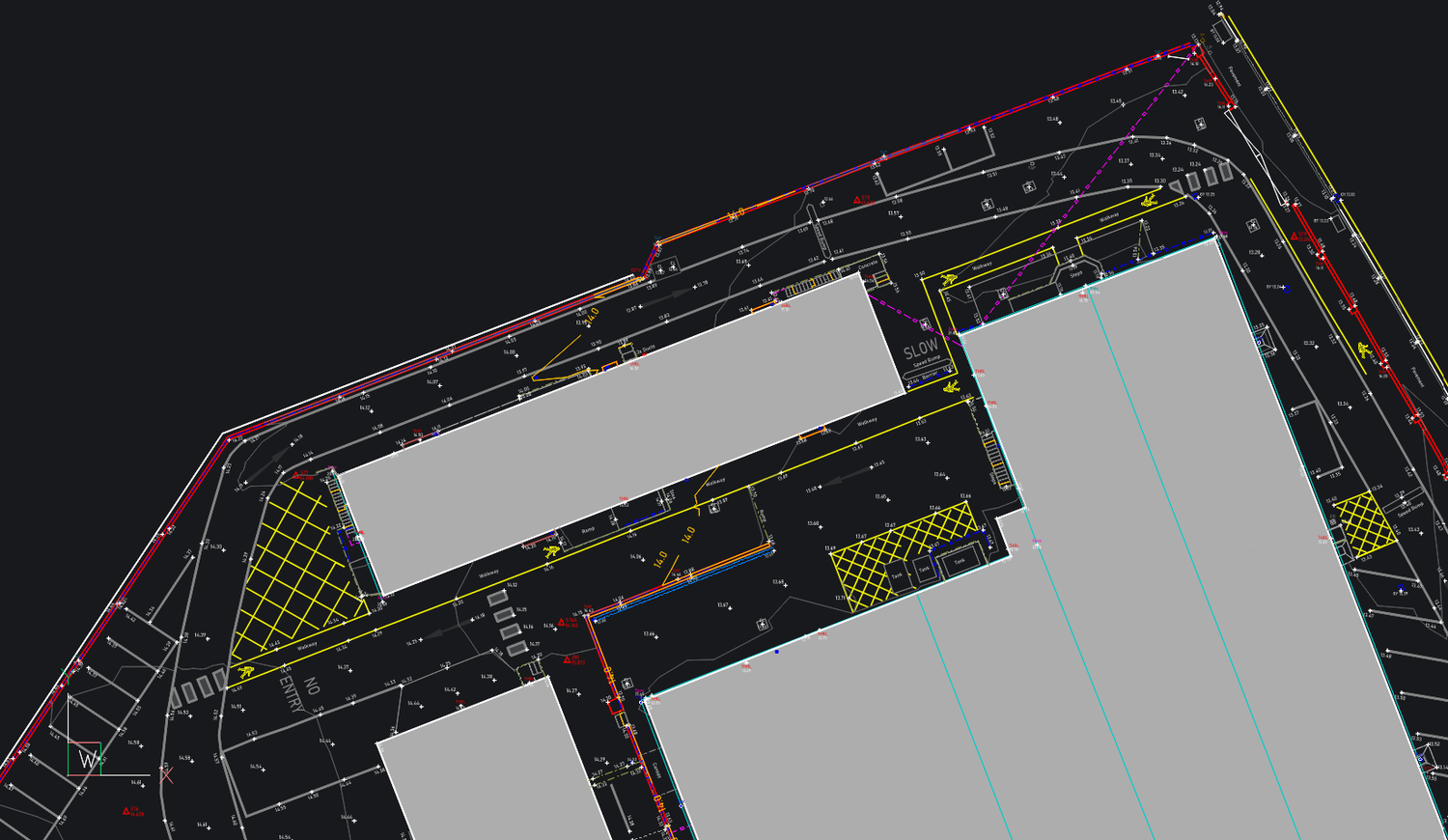
Survey information built for the next stage
From development plots to complex sites.
The finished survey has to do more than look tidy. It needs to give architects, engineers and contractors a dependable existing-site base for planning, detailed design, earthworks and construction.
We build the survey around that requirement — including the right level density, site features, control and deliverables for the project.
View project experience ↗What you’ll receive
Survey data ready for design, engineering and construction.
Outputs are agreed before fieldwork and prepared around the way your team needs to use the information.
Layered CAD survey drawings.
Clear issue drawings for review and sharing.
Three-dimensional survey information and breaklines.
Coordinate and level data for engineering software.
Digital terrain models and triangulated surfaces.
Surface data for compatible civil workflows.
Terrain contours at a suitable project interval.
Georeferenced scan data where laser scanning forms part of the scope.
How we survey
The method follows the site.
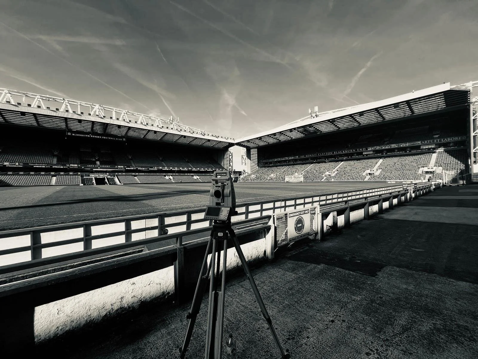
We use robotic total stations, GNSS, laser scanning and drone survey methods where appropriate, selecting the approach around site conditions, programme, accuracy and the final deliverable.
Where required, surveys can be coordinated to OSGB36 and Ordnance Datum Newlyn, or to an agreed project or local grid and datum.
Why Brookes Geospatial
North East coverage with a construction-minded survey approach.
Clear scope
The survey is defined around the decisions your project team needs to make.
Reliable control
Appropriate survey control and office checks support dependable levels and coordinates.
Useful outputs
CAD, PDF and 3D information is structured for the people using it next.
Construction understanding
Setting-out and engineering experience helps us understand where survey detail really matters.
Active-site practical
We work around live construction, industrial and commercial environments.
Wider support
North East coverage with wider North of England and UK projects available where required.
North East coverage
Topographical surveys throughout the North East.
Explore our local survey coverage, or view the main Topographical Surveys service for the full UK service overview.
South East Northumberland
Blyth, Cramlington, Bedlington, Ashington and surrounding towns.
County Durham
Durham, Chester-le-Street, Bishop Auckland and surrounding development sites.
Sunderland & Wearside
Sunderland, Washington and surrounding areas.
Darlington & Tees Valley
Darlington, Stockton-on-Tees, Middlesbrough and surrounding Tees Valley locations.
Frequently asked questions
Topographical surveys in the North East.
Send the site location, survey boundary and intended use and we can recommend an appropriate scope and provide a clear quotation.
Which parts of the North East do you cover?+
We cover Newcastle and Tyneside, Northumberland, Sunderland and Wearside, County Durham, Darlington, Teesside and surrounding areas.
What is included in a topographical survey?+
The scope can include buildings, boundaries, levels, contours, drainage, roads, kerbs, trees, visible utilities, street furniture and other relevant site features.
How much does a topographical survey cost?+
Our topographical surveys start from £500 + VAT for straightforward small sites. Final cost depends on site area, detail density, access and vegetation, complexity, required accuracy, grid / datum, deliverables and turnaround.
How long does a survey take?+
Small sites may only require a short field visit, while larger or more complex sites can require several field and office days. We confirm the expected programme with the quotation.
Do I need a topographical survey for planning?+
Many planning and design projects need an accurate existing-site plan so proposed layouts and levels can be prepared against the real site. Your architect or planning consultant can confirm the exact submission requirement.
Can the survey include underground utilities?+
A standard topo records visible service features. Buried utility detection and PAS128 survey services can be added where required.
Can you work to OSGB36 and Ordnance Datum Newlyn?+
Yes. Surveys can be related to OSGB36 coordinates and Ordnance Datum Newlyn levels, or completed on an agreed project / local grid and datum.
What do you need for a quotation?+
Send the site address or location, a plan showing the survey boundary, what the survey will be used for, any consultant specification and the required deadline or output.
Planning a North East project?